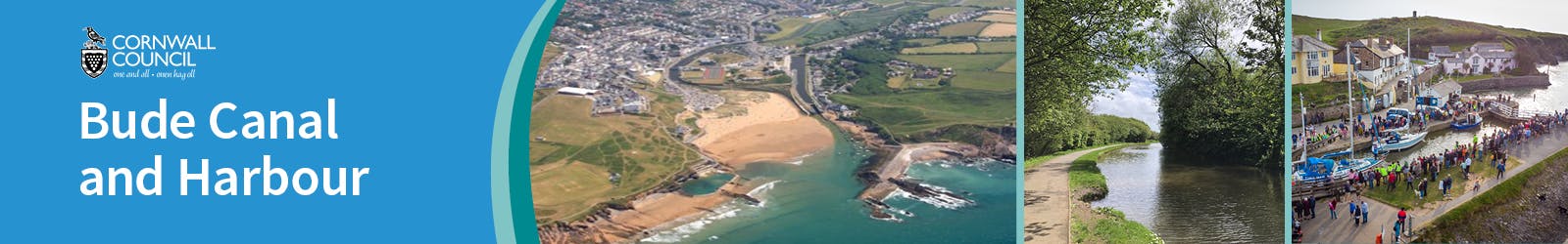
Welcome to the Bude Canal and Harbour Engagement Platform
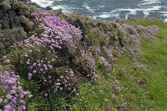
The Bude Canal and Harbour are iconic landmarks, supporting a range of land and water-based activities as well as providing a home for some of our rarest wildlife. They are a fantastic resource for the local community and put Bude on the map as a unique destination. Cornwall Council is proud to manage this special place and is committed to safeguarding it for current and future users.
On this page you can find regular updates providing the latest news and advice about the canal and harbour as well as background information to help you make the most of any visit.
Bude Canal Today
Constructed under an Act of Parliament between 1819 and 1825, the original 35.5 miles of canal was just part of John Edyvean’s (c.1770’s) ambitious 95-mile concept to join with the River Tamar. The canal was unique, in that it was constructed for agricultural purposes, transporting sea-sand to be applied as a soil conditioner and liming agent; a practice that fell away in subsequent decades as chemical fertiliser overtook.
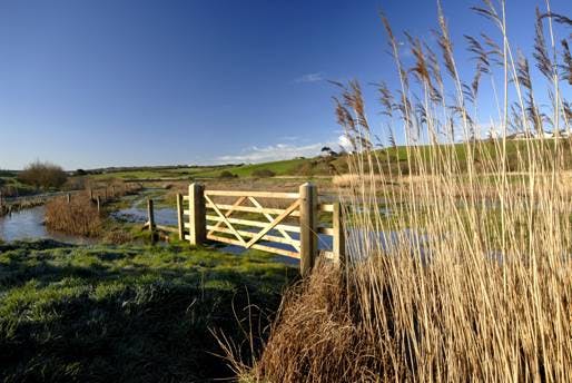
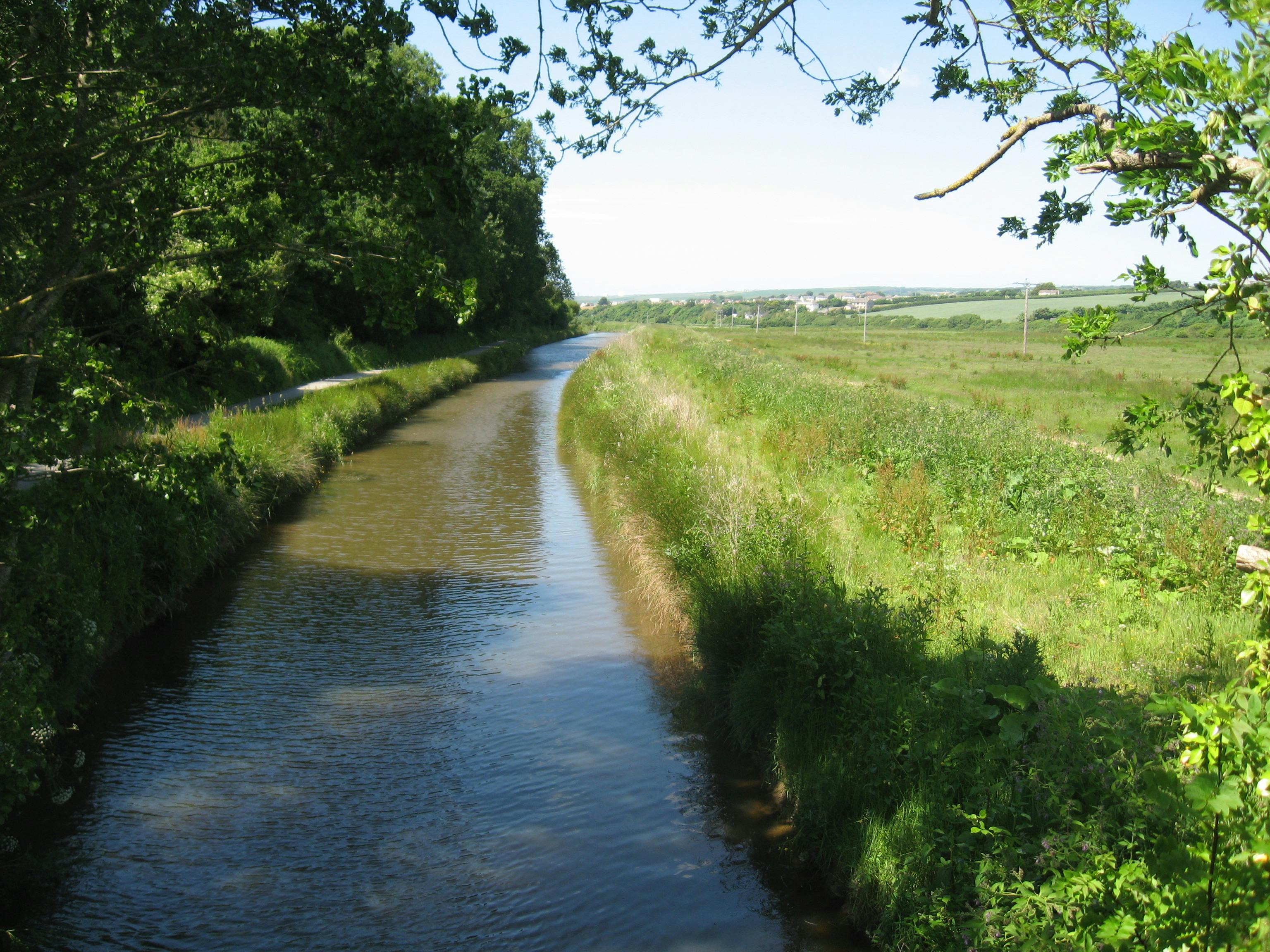
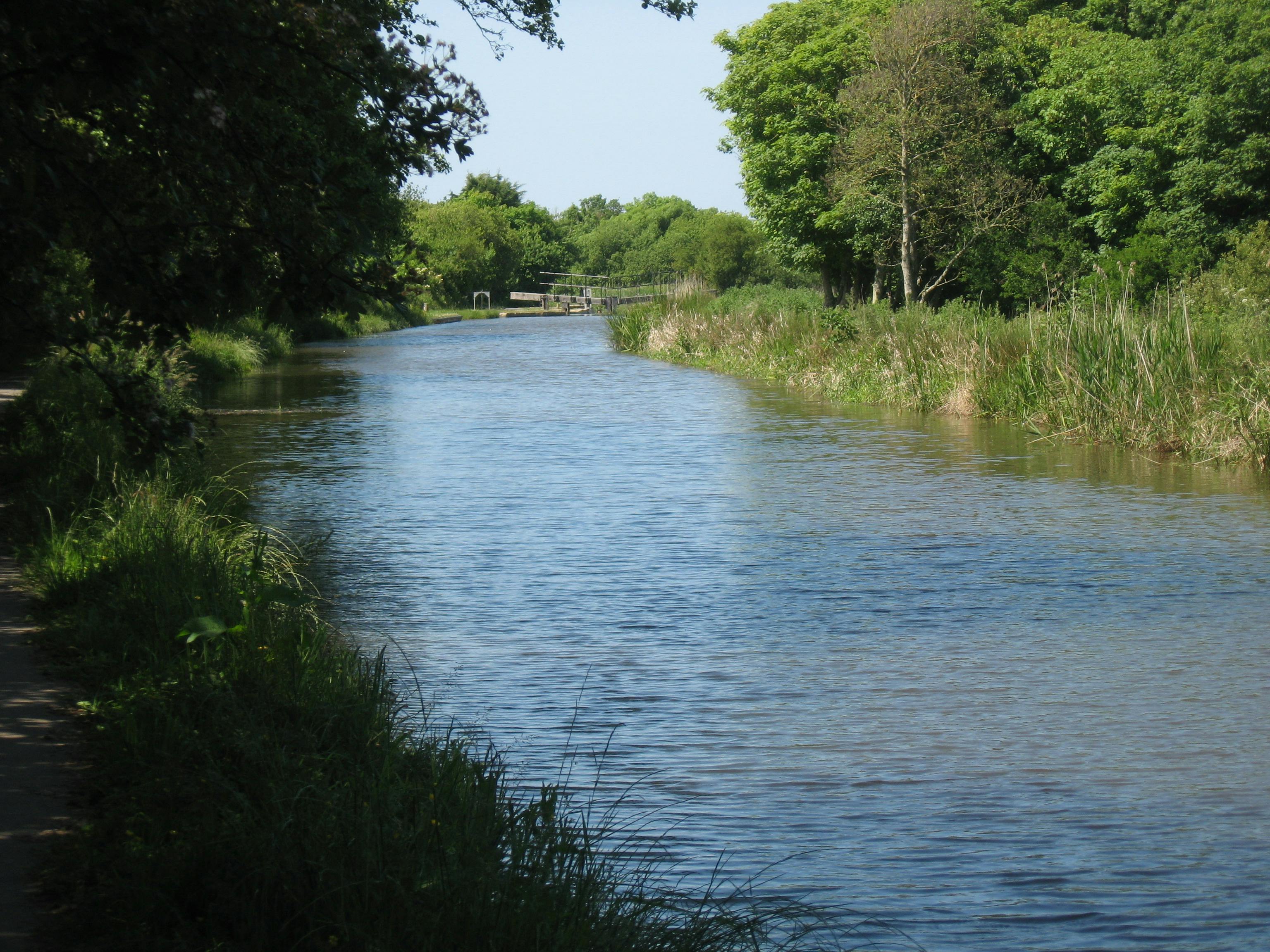
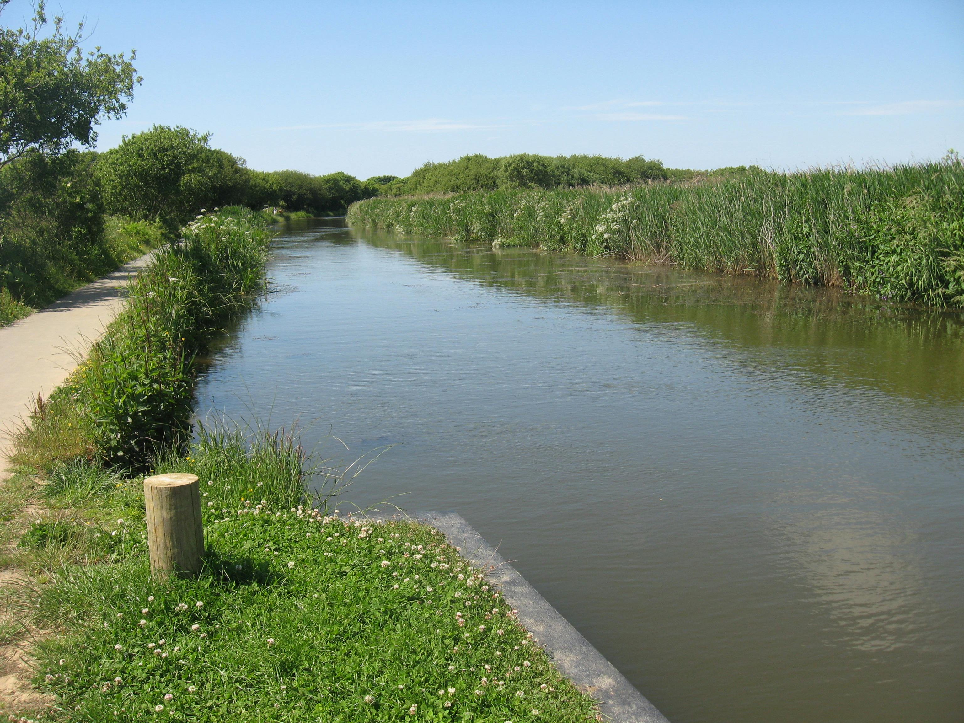
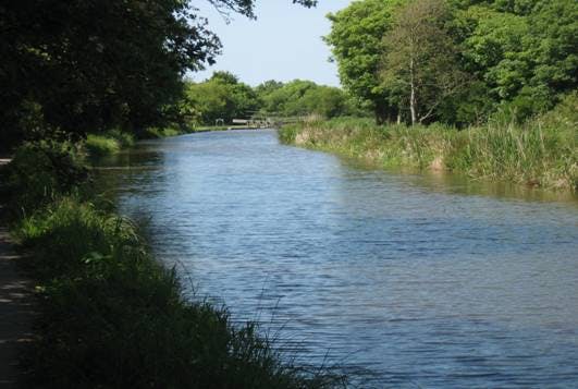
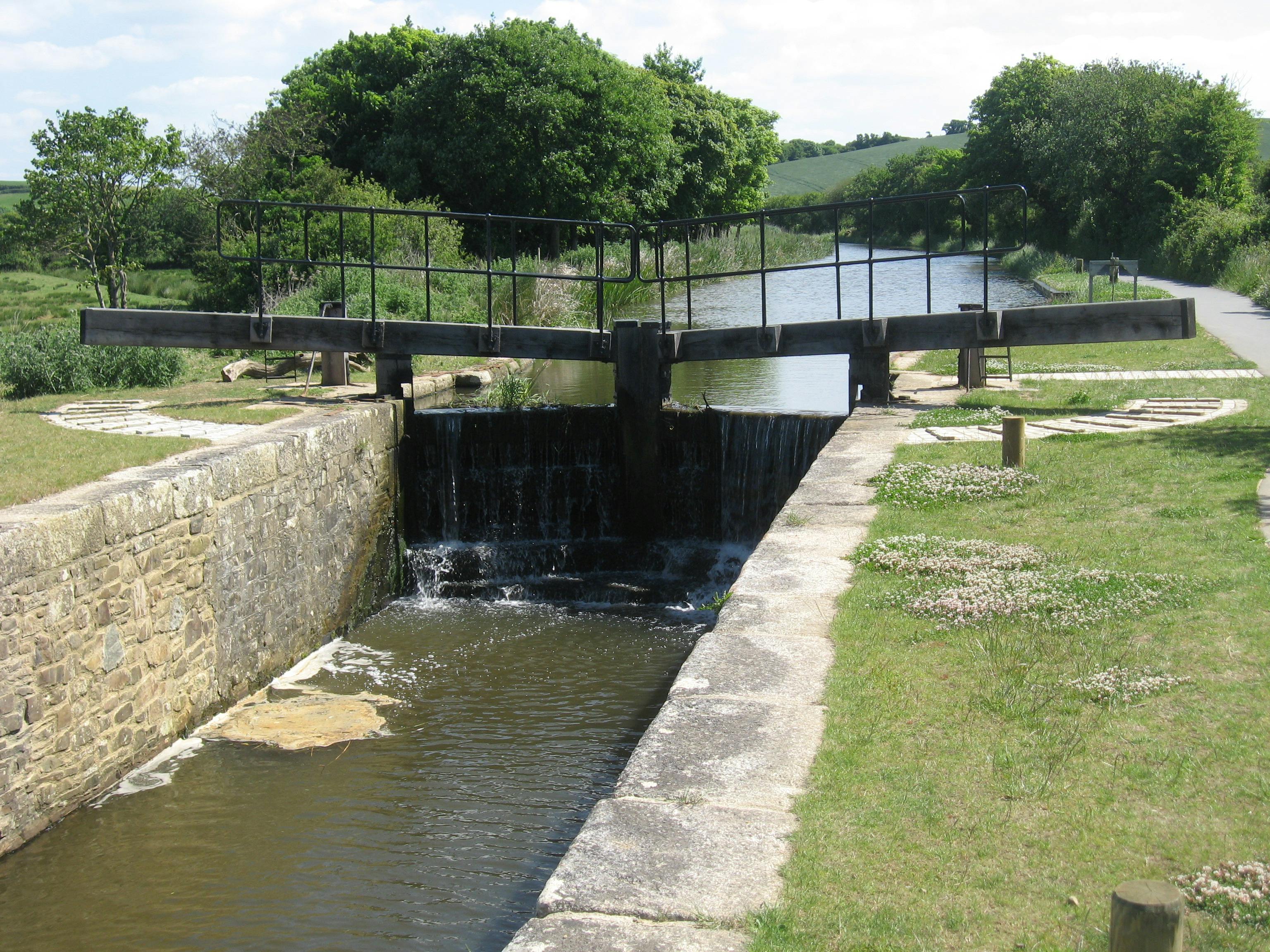
Today only a short section of c. 1.8 miles from the harbour to Whalesbrough remains watered. With the upper canal reaches mostly dry, it no longer receives water from Lower Tamar Lakes, but instead relies on the rivers Strat and Neet, which flow through catchments dominated by improved grassland and arable cropping.
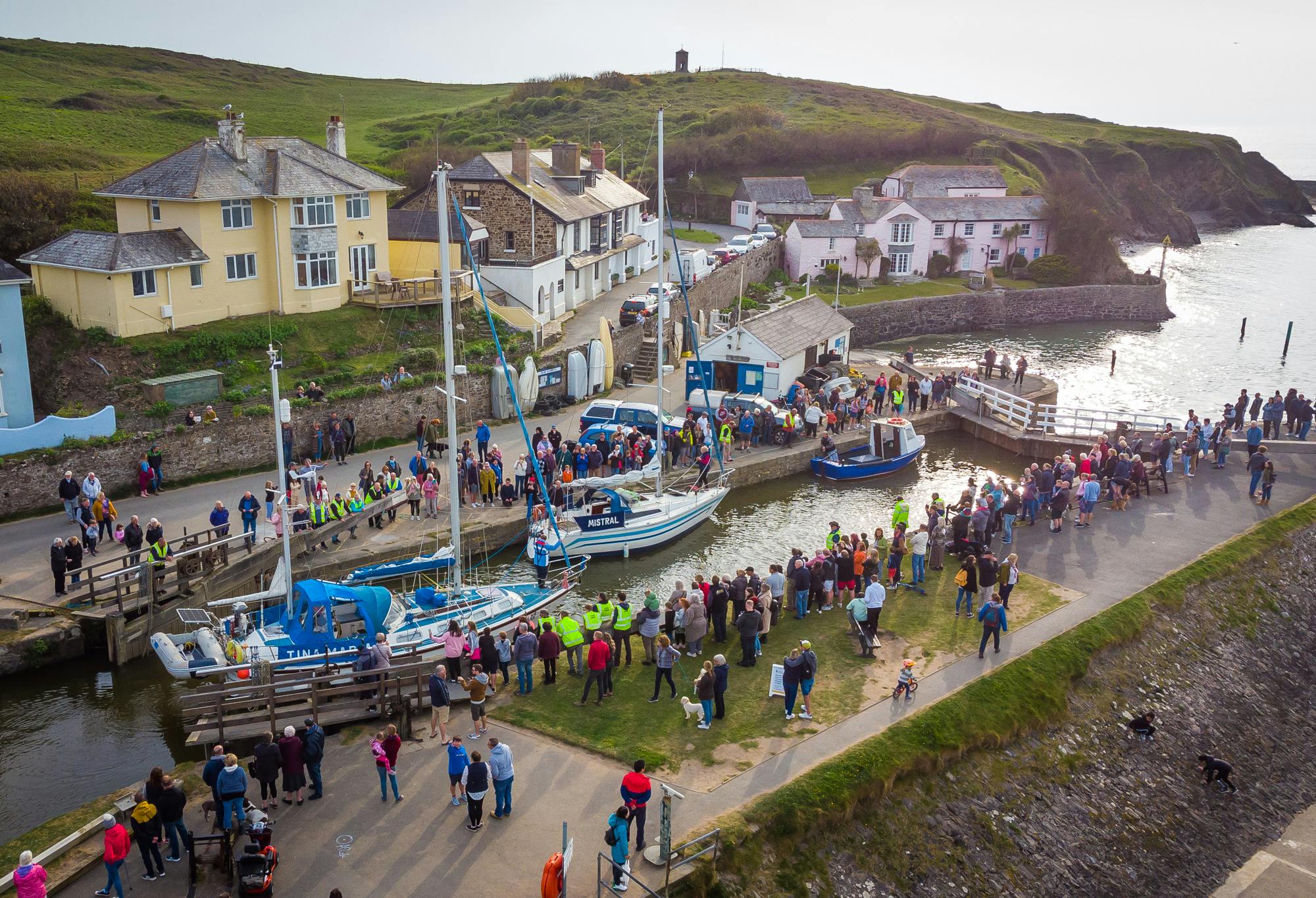
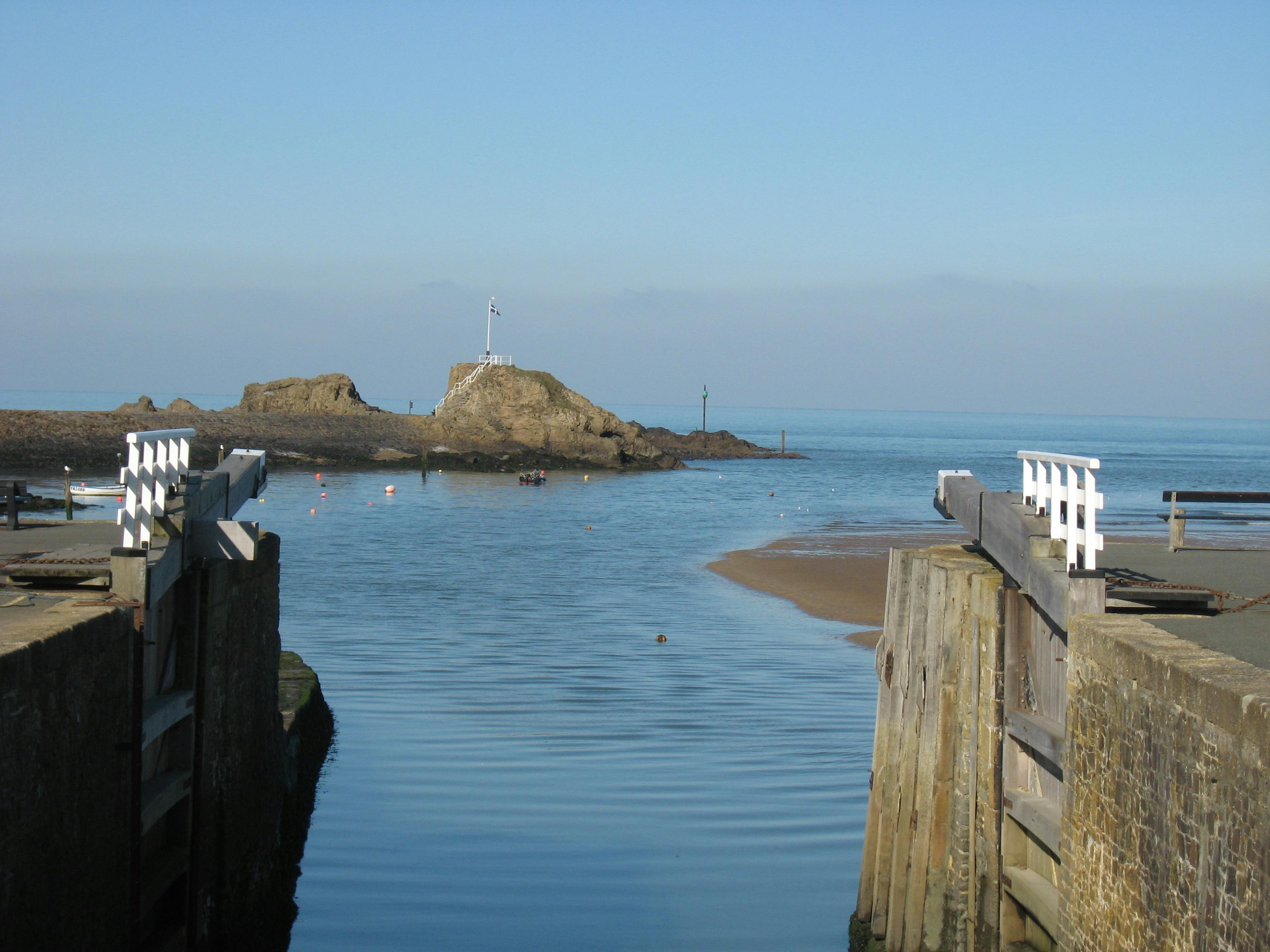
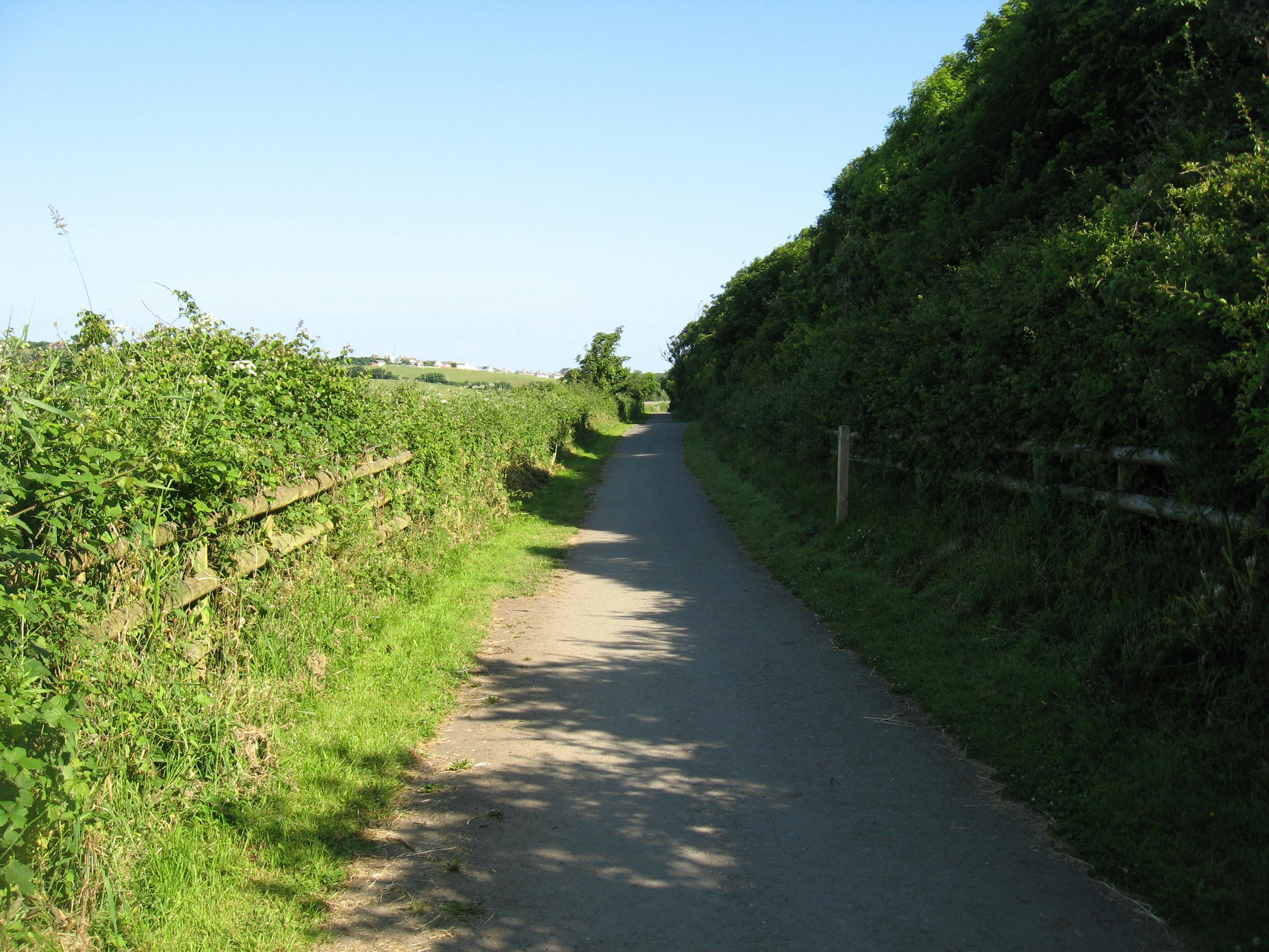
The canal and harbour are one Bude's foremost amenity spaces. A level tow-path provides an accessible route from the town to the surrounding countryside. The harbour and canal support small-scale commercial fishing, a coarse fishery, water-based activities and provide an attractive setting for canal-side food and retail outlets and accommodation.
This page is intended to help keep the community informed about the canal, providing updates and a place to ask questions. It has been developed in partnership between Cornwall Council Countryside and Maritime Teams, and we are pleased to work with a wide range of stakeholders involved in the canal and harbour through the Bude Valley Management Advisory Group:

Please note that the principle source of information for Bude Harbour is found at the following links:
- Bude Harbour News (select Bude filter) – News - Cornwall Harbours
- General information - Bude - Cornwall Harbours
The Bude Canal Dredging Programme referenced on this platform is part-funded] by the UK Government through the UK Shared Prosperity Fund. Cornwall Council has been chosen by Government as a Lead Authority for the fund and is responsible for monitoring the progress of projects funded through the UK Shared Prosperity Fund in Cornwall and the Isles of Scilly.


Documents and BVMG Updates
-
 BVMAG Update Summer 2020.pdf (648 KB) (pdf)
-
BVMAG update Winter 2020 -21 Public.pdf (6.1 MB) (pdf)
-
BVMAG update Summer 2021.pdf (4.49 MB) (pdf)
-
BVMAG update Winter 2021-22 (002).pdf (4.77 MB) (pdf)
-
Bude Canal Presentation_ SWRFCC 02082022Reduced.pdf (3.71 MB) (pdf)
-
Capital Projects Update_Bude Manaegment Advisory Group - 22082022.pdf (2.67 MB) (pdf)
-
Presentation - Public Meeting 12th Jan 2023 (2.66 MB) (pdf)
-
Record of Public Meeting 12th Jan 23.pdf (243 KB) (pdf)
-
Bude Canal Embankment Visualisation.pdf (8.9 MB) (pdf)