Welcome to the Bude Canal and Harbour Engagement Platform
The Bude Canal and Harbour are iconic landmarks, supporting a range of land and water-based activities as well as providing a home for some of our rarest wildlife. They are a fantastic resource for the local community and put Bude on the map as a unique destination. Cornwall Council is proud to manage this special place and is committed to safeguarding it for current and future users.
On this page you can find regular updates providing the latest news and advice about the canal and harbour as well as background information to help you make the most of any visit.
Bude Canal Today
Constructed under an Act of Parliament between 1819 and 1825, the original 35.5 miles of canal was just part of John Edyvean’s (c.1770’s) ambitious 95-mile concept to join with the River Tamar. The canal was unique, in that it was constructed for agricultural purposes, transporting sea-sand to be applied as a soil conditioner and liming agent; a practice that fell away in subsequent decades as chemical fertiliser overtook.
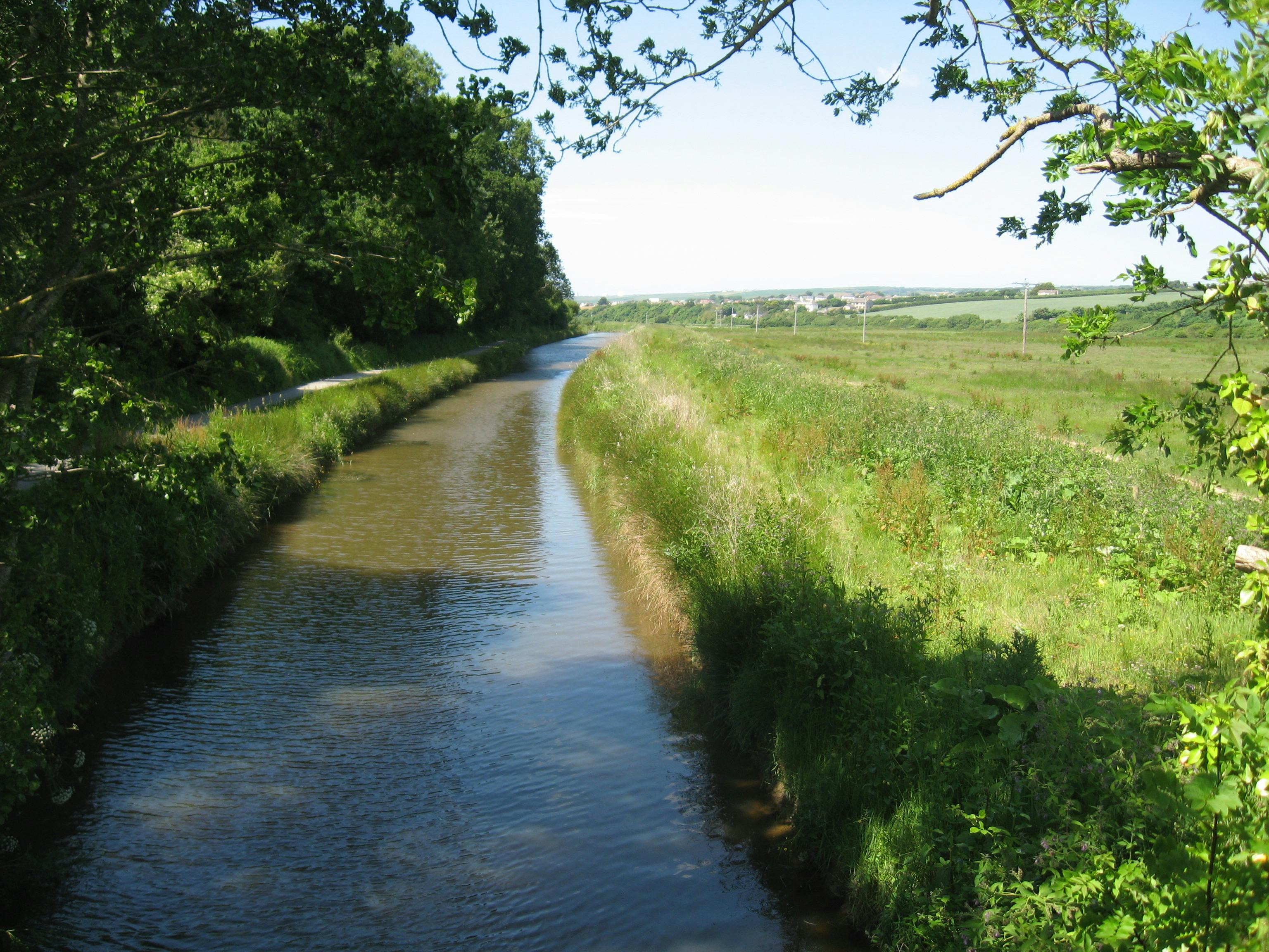
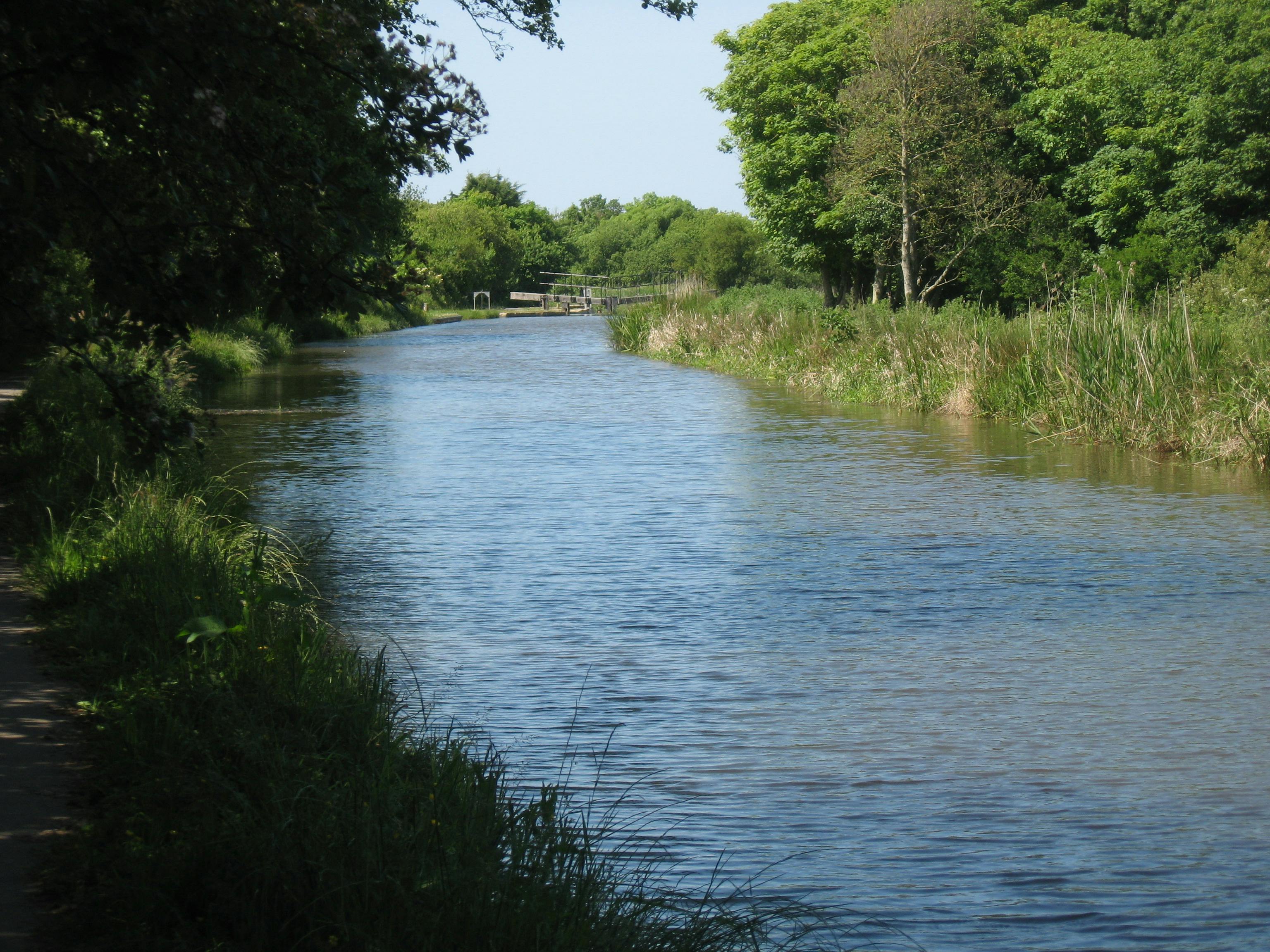
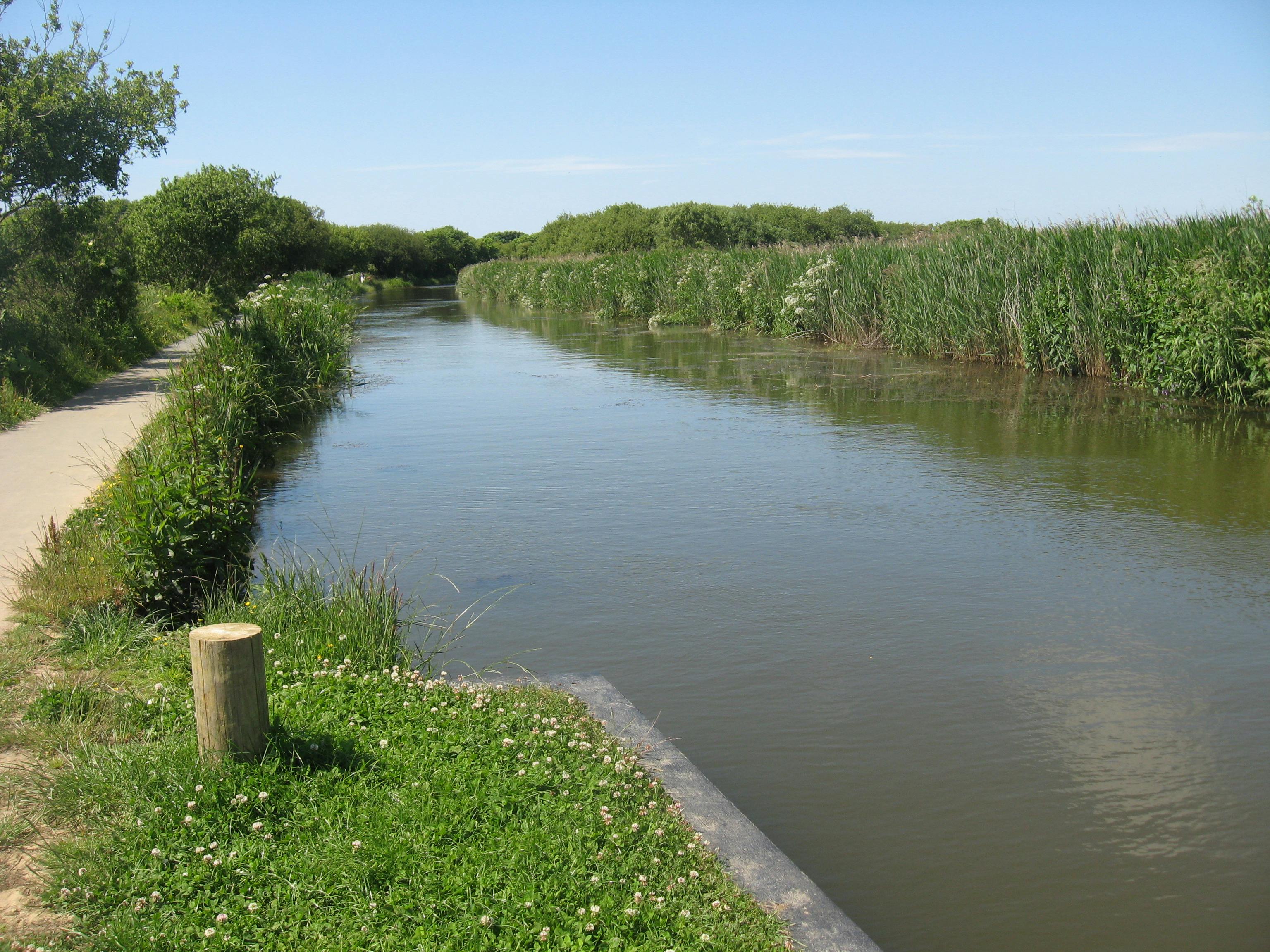
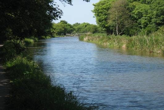
Today only a short section of c. 1.8 miles from the harbour to Whalesbrough remains watered. With the upper canal reaches mostly dry, it no longer receives water from Lower Tamar Lakes, but instead relies on the rivers Strat and Neet, which flow through catchments dominated by improved grassland and arable cropping.
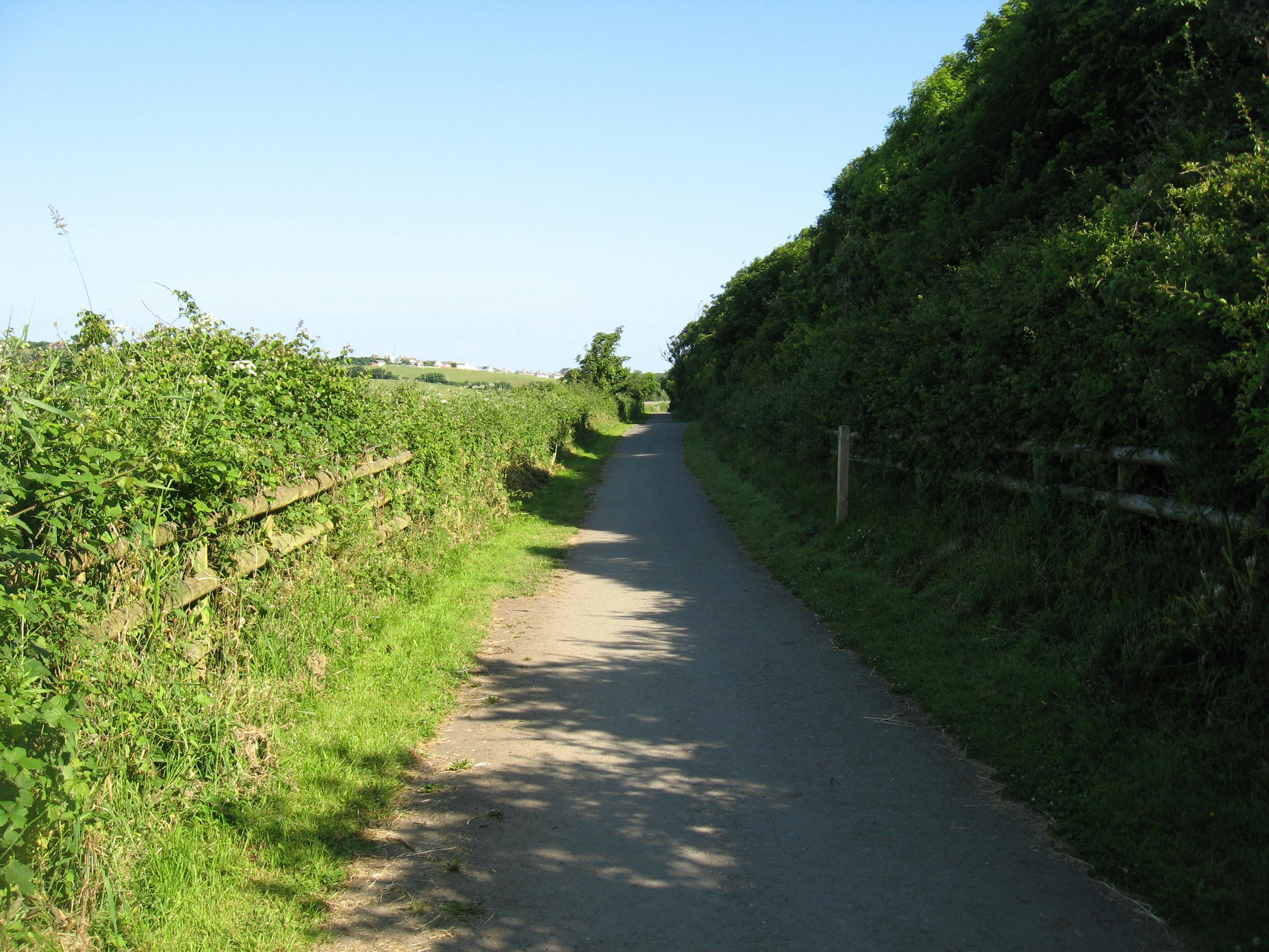
The canal and harbour are one Bude's foremost amenity spaces. A level tow-path provides an accessible route from the town to the surrounding countryside. The harbour and canal support small-scale commercial fishing, a coarse fishery, water-based activities and provide an attractive setting for canal-side food and retail outlets and accommodation.
This page is intended to help keep the community informed about the canal, providing updates and a place to ask questions. It has been developed in partnership between Cornwall Council Countryside and Maritime Teams, and we are pleased to work with a wide range of stakeholders involved in the canal and harbour through the Bude Valley Management Advisory Group:
Please note that the principle source of information for Bude Harbour is found at the following links:
- Bude Harbour News (select Bude filter) – News - Cornwall Harbours
- General information - Bude - Cornwall Harbours
The Bude Canal Dredging Programme referenced on this platform is part-funded] by the UK Government through the UK Shared Prosperity Fund. Cornwall Council has been chosen by Government as a Lead Authority for the fund and is responsible for monitoring the progress of projects funded through the UK Shared Prosperity Fund in Cornwall and the Isles of Scilly.

-
February half-term Update
Share February half-term Update on Facebook Share February half-term Update on Twitter Share February half-term Update on Linkedin Email February half-term Update linkThere are no planned dredging works on the Bude Canal in the main February half-term week, commencing 13th February. This means that the canal and the tow path will remain open as usual. A barrier remains in place along part of the canal bank beside the Crescent Carpark, where the canal edge is suffering from damage.
We will continue to update this page as the dates for dredging works are finalised.
-
Bude Canal Dredging Programme Update
Share Bude Canal Dredging Programme Update on Facebook Share Bude Canal Dredging Programme Update on Twitter Share Bude Canal Dredging Programme Update on Linkedin Email Bude Canal Dredging Programme Update link
Ahead of a public meeting scheduled for 12 January 2023, we’re updating stakeholders and the community about some changes to the timeline for dredging the Bude canal.
Dredging of one section of the Bude canal to the south of Truscott’s Bridge will begin as planned.
The start date for dredging the commercial lower zones of the canal has been rescheduled for later in the year to mitigate against any possibility of these major works affecting the town during the busy Easter holiday period.
Dredging the lower zones close to the town will have an inevitable impact and we are constantly reviewing our methods and programme to mitigate and reduce those impacts. Additionally, there are ecological constraints in the canal to consider. Taking all these factors into account, the window for completing all the dredging work this side of Easter is small.
For these practical reasons, dredging in the lower zones will now start when temperatures drop again later in the year, which is a constraint due to the presence of invasive non-native zebra mussel in the lower sections and is part of our environmental consent.
We continue to work hard to deliver the best scheme possible to protect this iconic asset for Bude.
The public meeting on 12 January will go ahead at 1pm Room 4 at the Parkhouse Centre (Bude Stratton Town Council).
-
Bude Canal Dredging Programme – What you can expect
Share Bude Canal Dredging Programme – What you can expect on Facebook Share Bude Canal Dredging Programme – What you can expect on Twitter Share Bude Canal Dredging Programme – What you can expect on Linkedin Email Bude Canal Dredging Programme – What you can expect link
We are preparing to dredge the canal and want to let you know what will be happening and how it might affect you.
Why is the canal being dredged?
- Reinstate a safe navigable depth for watercraft
- Restore the role of the canal in carrying flood waters as part of the flood defence strategy for Bude
- To make the canal more resilient to the impacts of climate change, such as the low water levels experienced in the drought of 2022
When will the programme take place?
Exact dates will depend on a number of factors such as weather conditions, however we hope to begin in late January/February 2023 and to complete by the end of the 23/24 financial year.
What to expect:
Canal and adjacent paths
The canal will be closed for the duration of the dredging programme. Sections of the tow path and cycleway will also be closed when works are underway.
Keeping the canal and paths open would present an avoidable health and safety risk whilst the operations are ongoing, so in order to keep people safe and ensure the operation goes as smoothly as possible we will close the canal throughout the operation.
Sections of the tow path and cycleway will also need to have access restricted at times, whilst dredging machinery is moved, or when it’s working too closely to public areas. However we will do our best to limit these times of restricted access, and will fully re-open the path, as soon as it is safe to do so.
Activity providers will be notified in advance and should let their customers know. There will be cordons and signage on site indication the closure to the general public and visitors.
Harbour and Crescent Carparks
Part of the Harbour Carpark will be closed whilst it is used as a compound for the programme. Likewise, half of the Crescent Carpark will be closed whilst it is also used as a compound for the programme. These locations will be inaccessible whilst used for the dredging works. Access to premises will be retained, though may involve a diversion around the compounds.
Impact on leisure and businesses
Restoring the canal is a benefit to leisure and business in the long-term and every effort is being made to limit impact of the dredging programme on leisure and businesses by carrying out the works outside of the main summer season.
Lorries
Dredged material from the harbour and upper wharf will be stored temporarily in the adjacent carparks and then transported away by lorry. Due to the volumes of silt involved, it is anticipated that removal will take a period of about 5 weeks.
Smell
As organic matter held within the silt begins to breakdown one it is exposed to oxygen it is highly likely that it could smell. You could expect an eggy odour or a gassy smell. Sensors will be installed on-site to monitor the release of volatile gasses.
Where to find out more information:
The scheme is being deliver by Cormac Solutions.
You can get in touch via: customerrelations@cormacltd.co.uk Telephone 0300 1234 222
-
Water-based Activity Providers - Point of Contact
Share Water-based Activity Providers - Point of Contact on Facebook Share Water-based Activity Providers - Point of Contact on Twitter Share Water-based Activity Providers - Point of Contact on Linkedin Email Water-based Activity Providers - Point of Contact link
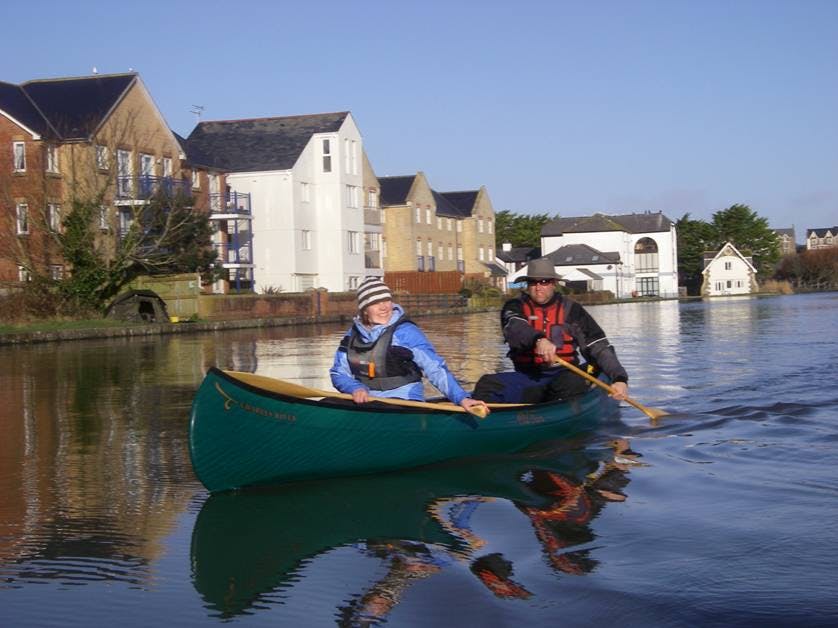
The Bude Canal offers a great range of the water-based activities, which are made possible through Cornwall Council's licence agreements for activity providers.
The Council is delighted to be working with seven providers on the canal in the current period, offering everything from canoe and stand-up paddleboard training to family pedalos for fun on the water whatever your ability.
We are hopeful that temporary measures put in place to keep the canal useable whilst repairs to the embankment are designed and approved will mean that everyone who wants to can still enjoy getting onto the water. Whilst the canal embankment is cordoned off, alternative launch areas have been designated for water users. Please follow on-site signage to the temporary launch area.
To help maintain communication and answer questions about use of the canal in this period and ongoing, please contact dan.lee@cornwall.gov.uk
-
Dredging Update - poised to start at Whalesborough
Share Dredging Update - poised to start at Whalesborough on Facebook Share Dredging Update - poised to start at Whalesborough on Twitter Share Dredging Update - poised to start at Whalesborough on Linkedin Email Dredging Update - poised to start at Whalesborough link
As mentioned in earlier articles on this platform, dredging the Bude canal is not a straightforward operation. To cope with some of the complexities of the site we have divided up the dredging into zones where different methods can be applied. One of the simplest sections to dredge is near the start of the canal at Whalesborough and we are really pleased that we are now in a position to go ahead with silt removal in the section of the canal adjacent to the field known a Whalesborogh Ham. Here an excavator can access the embankment beside the canal, and there is available space to deposit arising alongside the embankment. This is the method most similar to how the canal would have traditionally been dredged, but is not possible along its entire length due to lack of available land, bank instability and the ecology of certain stretches.
Pending some final confirmation of equipment and labour availability we may be ready to undertake desilting in this zone as soon as w/c 7th November, or shortly afterwards. Land users affected by the proposal have already been engaged and this activity should not impact on any section of the publicly accessible paths.
-
Bude Valley Volunteers
Share Bude Valley Volunteers on Facebook Share Bude Valley Volunteers on Twitter Share Bude Valley Volunteers on Linkedin Email Bude Valley Volunteers link
The Bude Valley Volunteers help to manage many of the important green and blue spaces around Bude. They get involved with a wide range of tasks from coppicing willow and pulling invasive Himalayan Balsam to digging-in old Christmas trees and planting marram grass to restore the sand dunes at Widemouth Bay. They also undertake nature-walks and contribute recordings to the Cornwall Wildlife Trusts species data records.
If you would be interested in joining some of the working parties or nature-recording walks, please, please visit: bude valley volunteers (bude-area.co.uk) and complete an application form.
-
Critical Days Ahead for Plans to Dredge the Bude Canal
Share Critical Days Ahead for Plans to Dredge the Bude Canal on Facebook Share Critical Days Ahead for Plans to Dredge the Bude Canal on Twitter Share Critical Days Ahead for Plans to Dredge the Bude Canal on Linkedin Email Critical Days Ahead for Plans to Dredge the Bude Canal link
Cornwall Council has been developing a dredging programme for the canal in response to community and stakeholder demand for some time, and coming days will see a turning point for the proposals if the scheme is successful in its funding bid to the South West Regional Flood and Coastal Committee: South West Regional Flood and Coastal Committee (RFCC) - GOV.UK (www.gov.uk)
The canal receives high levels of silt input, particularly during times of flood, when the canal is opened to act a pressure value reliving the Lower Neet of flood waters. The catchments of the Start and Neet, which terminate in the canal, are flashy, changing rapidly at times of high rainfall, during which overland flow and energetic rivers have the power to erode exposed surface soil and river banks, bringing particles along in suspension until energy disperses across the wider reach of the canal and therefore settle out of the water column, building up on the bed of the canal.
Due to constraints around protected sites, invasive non-native zebra mussels and lack of available space canal-side, the de-silting operation is complex and brings with it a significant price-tag, but with the benefit of being highly effective and environmentally friendly. In the lower reaches the proposal is to deploy a Cornish developed and patented cutter-head technology, which encapsulates sediment in housed apparatus within which the invasive zebra mussel can die-off before onward transport to a suitable receptor site. This technology, delivered by a Cornish firm, has had no evidence of dredging operations recorded just 3 meters from the dredging point in lab and real-world trials.
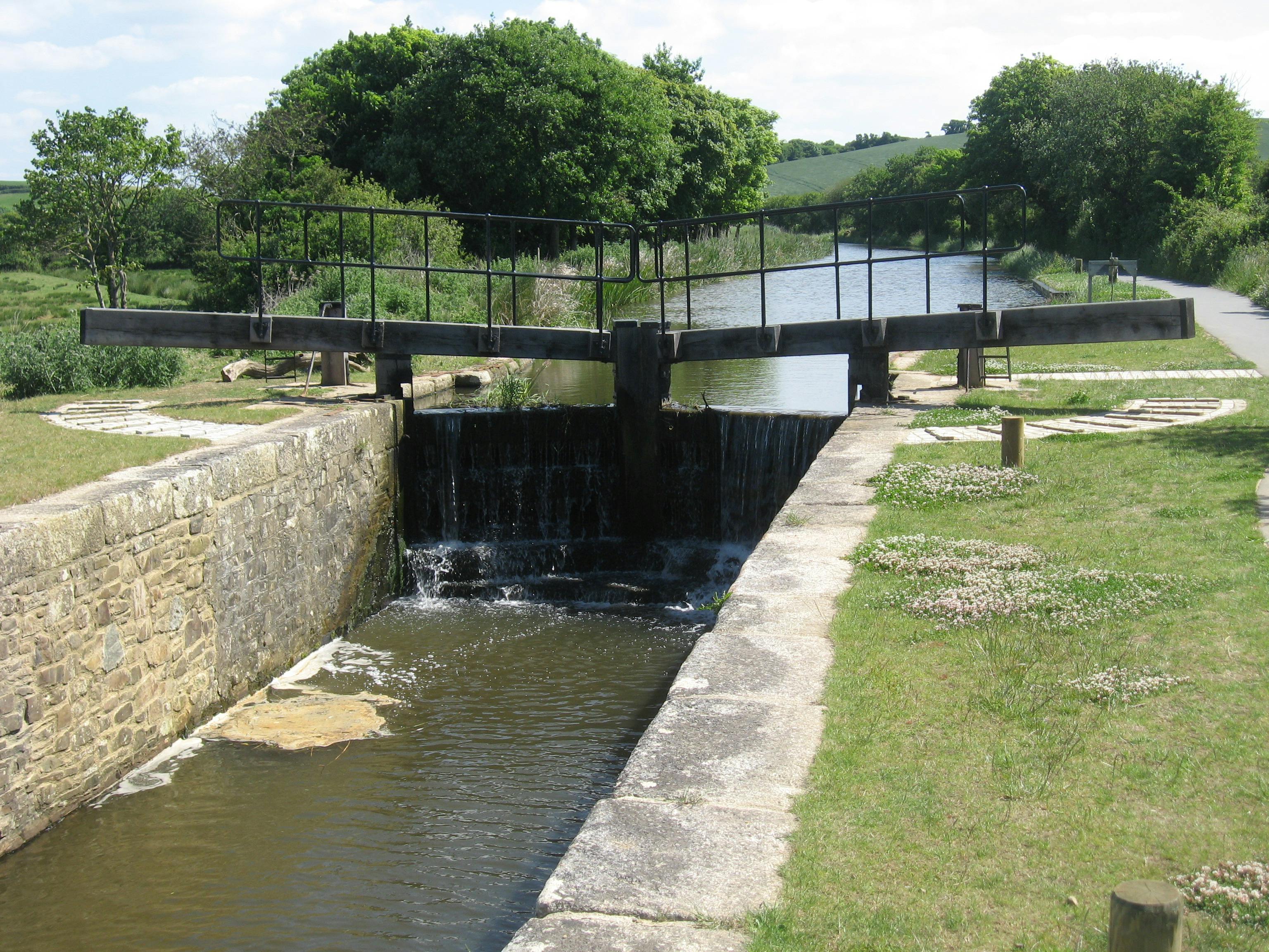
The planned dredging programme aims to reinstate the desired depths for a navigable channel throughout the lower reaches, from the harbour to Rodd's lock. prior works will also excavate silt at Whalesborough so that the source of silt supply is reduced. Doing this will safeguard the canal for current users and future generations, a ambition that is in the spotlight following the temporary closure of the canal this year.
The dredging proposal also has relevance to climate change impacts, with an increase in periods of drought increasingly likely in the future. A silted-up canal will carry a shallower depth of water and therefore dry more rapidly posing an increased a risk of aquatic habitat loss as a result. With a full-scale fish rescue being only narrowly avoided this year, we can see this as evidence that steps, including dredging, should be taken now to avoid similar, or worse, events.
If you would like to find out more about our dredging proposals, please see the presentations in our documents bar.
-
Hilary's Story - Biodiversity and Ecosystems
Share Hilary's Story - Biodiversity and Ecosystems on Facebook Share Hilary's Story - Biodiversity and Ecosystems on Twitter Share Hilary's Story - Biodiversity and Ecosystems on Linkedin Email Hilary's Story - Biodiversity and Ecosystems linkWe are delighted to share Hilary's Story; a contribution to Bude Climate Partnership's Our Bude, Our Stories initiative from Hilary Philip's, a keen member of the Bude Valley Management Advisory Group, that helps inform and guide management of the canal harbour and Local Nature Reserve.
In a short film, Hilary talks about the need to strike a fine balance between the use of the environment by people and the needs of nature for space, highlighting that climate change presents a particular problem that has brought this sometime troublesome interrelationship into sharp focus - just like the lens on her camera that has provided the frame for her exploration of Bude's habitats and the detail required to deeply understand the precious habitat that exists beneath every footstep.
To see Hilary's story, and learn more about what you can do to care for nature either out and about, or whilst at home, visit: Hilary's Story | Bude Climate
-
Activities Resume on the Bude Canal
Share Activities Resume on the Bude Canal on Facebook Share Activities Resume on the Bude Canal on Twitter Share Activities Resume on the Bude Canal on Linkedin Email Activities Resume on the Bude Canal link
Many of you will be aware that all water-based activities on the canal were temporarily suspended on 19th August due to low water levels.
We are pleased that we have now been able to prepare an area for safe launching.
The area is located in the upper recreational zone and is clearly signed on site.
It is important that launching on the east bank only takes place from the designated area. Barriers remain in place cordoning off areas where access over the banks remains prohibited.
For further details about the types of activities available please visit: Visit Bude Canal | Things to do in Bude | Visit Bude
Or see our activity providers list.
-
Sea Lock Movements Update
Share Sea Lock Movements Update on Facebook Share Sea Lock Movements Update on Twitter Share Sea Lock Movements Update on Linkedin Email Sea Lock Movements Update link
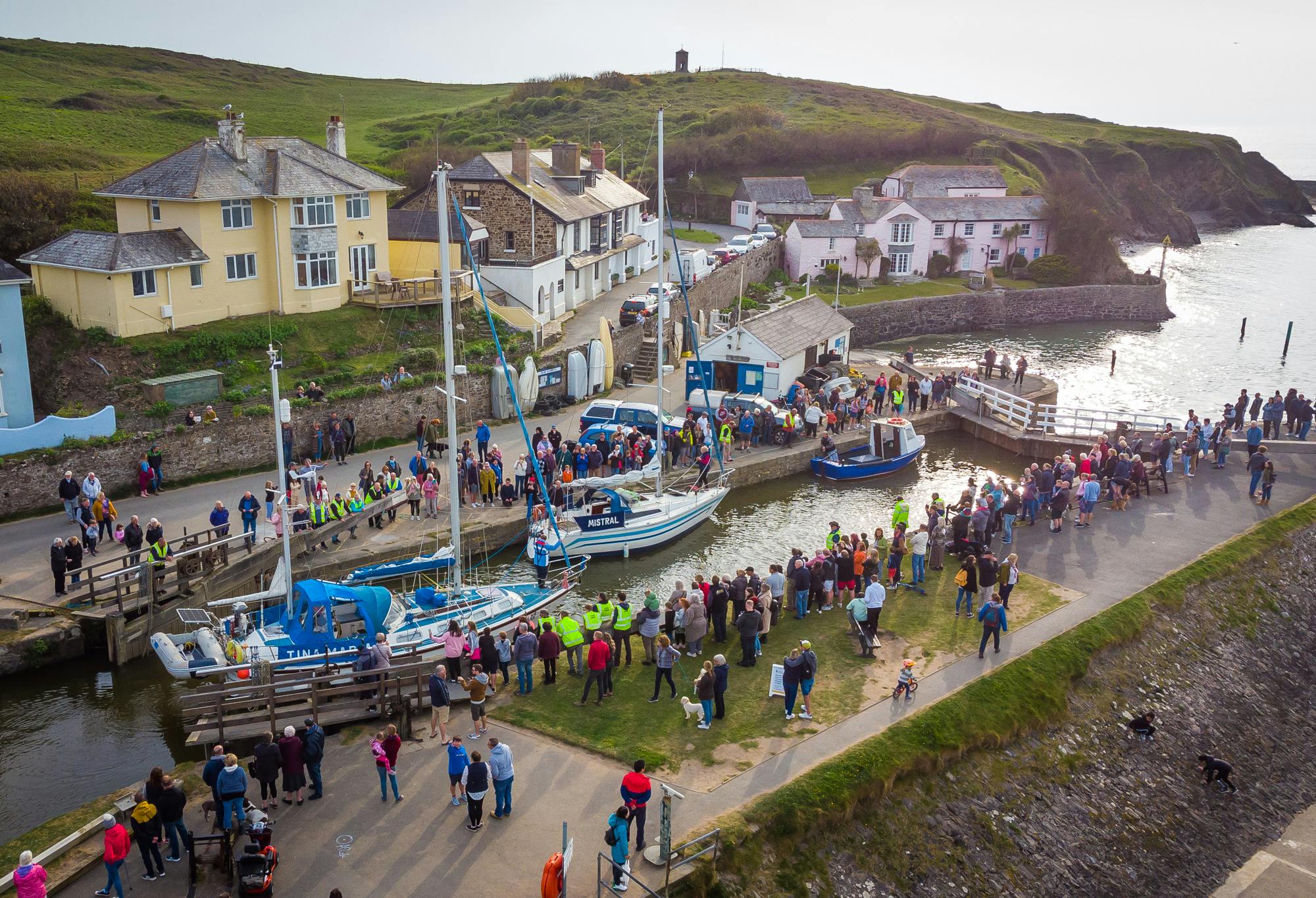
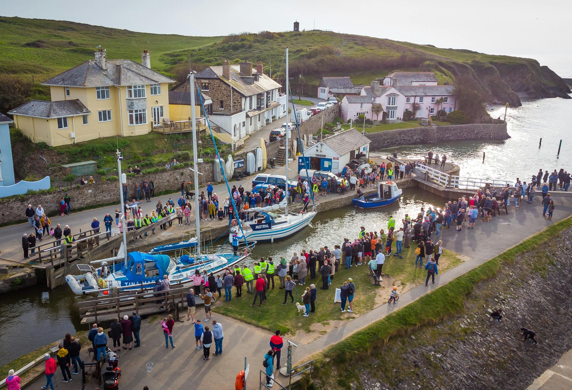
Saturday 30th April saw the first successful lock out of the season with local boat “Chug Chug” and yachts “Tina Maria” and “Mistral” leaving Bude destined for Plymouth and Mylor harbours respectively.
The middle of May saw exceptionally large swells large enough to top the inner gates resulting in the metal storm bars having to be re-instated. This inevitably deposited a large amount of sand into the lock chamber preventing the outer gates from being closed again. With normal sluicing methods unsuccessful, we had to resort to dive contractors clearing the sand manually with high power hydrant pumps to get operational again.
The 4th July saw our second lock movement locking in visiting yacht “Judo” a traditional Cornish Shrimper, and locking out local fishing boat “Mantis”. After a short stay, “Judo” locked out again on the following Wednesday returning to Padstow.
These, sadly due to our exceptionally hot summer and drought conditions, were the only lock operations of the year.
With water levels dropping to a record low, due to the national drought conditions, yet again the lock chamber has sanded up rendering the lock unusable. This has resulted in the necessary decision to fit the storm chains etc early, to prevent damage, shutting the lock down for the year. Because of this, the next Lock movement is expected May 2023.
The full autumn 2022 update for Bude harbour can be found at: Bude Harbour Autumn Update 2022 - Cornwall Harbours
For full updates relating to the Sea Lock and Bude Harbour, please visit: Bude - Cornwall Harbours
Key Dates
-
12 January 2023
-
21 July 2024
-
16 July 2024
Documents and BVMG Updates
-
 BVMAG Update Summer 2020.pdf (648 KB) (pdf)
-
 BVMAG update Winter 2020 -21 Public.pdf (6.1 MB) (pdf)
-
 BVMAG update Summer 2021.pdf (4.49 MB) (pdf)
-
 BVMAG update Winter 2021-22 (002).pdf (4.77 MB) (pdf)
-
 Bude Canal Presentation_ SWRFCC 02082022Reduced.pdf (3.71 MB) (pdf)
-
 Capital Projects Update_Bude Manaegment Advisory Group - 22082022.pdf (2.67 MB) (pdf)
-
 Presentation - Public Meeting 12th Jan 2023 (2.66 MB) (pdf)
-
 Record of Public Meeting 12th Jan 23.pdf (243 KB) (pdf)
-
 Bude Canal Embankment Visualisation.pdf (8.9 MB) (pdf)
Follow Project
News Categories
- # local nature reserve (1)
- #climate change (1)
- #dredging (1)
- #drought2022 (2)
- #ecology (2)
- #fisheries (1)
- #flood (1)
- #harbour #drought2022 #sealock (1)
- #water-based activities (2)
- #wildlife (1)
- #zebra mussel (2)


