Welcome to the Bude Canal and Harbour Engagement Platform
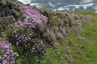
The Bude Canal and Harbour are iconic landmarks, supporting a range of land and water-based activities as well as providing a home for some of our rarest wildlife. They are a fantastic resource for the local community and put Bude on the map as a unique destination. Cornwall Council is proud to manage this special place and is committed to safeguarding it for current and future users.
On this page you can find regular updates providing the latest news and advice about the canal and harbour as well as background information to help you make the most of any visit.
Bude Canal Today
Constructed under an Act of Parliament between 1819 and 1825, the original 35.5 miles of canal was just part of John Edyvean’s (c.1770’s) ambitious 95-mile concept to join with the River Tamar. The canal was unique, in that it was constructed for agricultural purposes, transporting sea-sand to be applied as a soil conditioner and liming agent; a practice that fell away in subsequent decades as chemical fertiliser overtook.
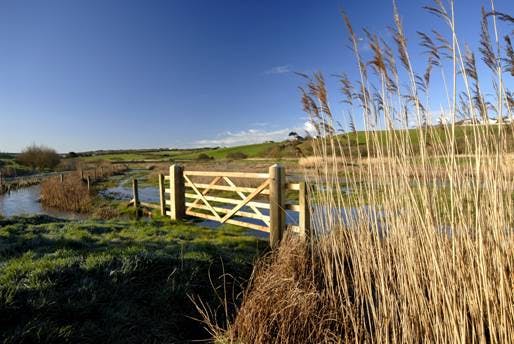
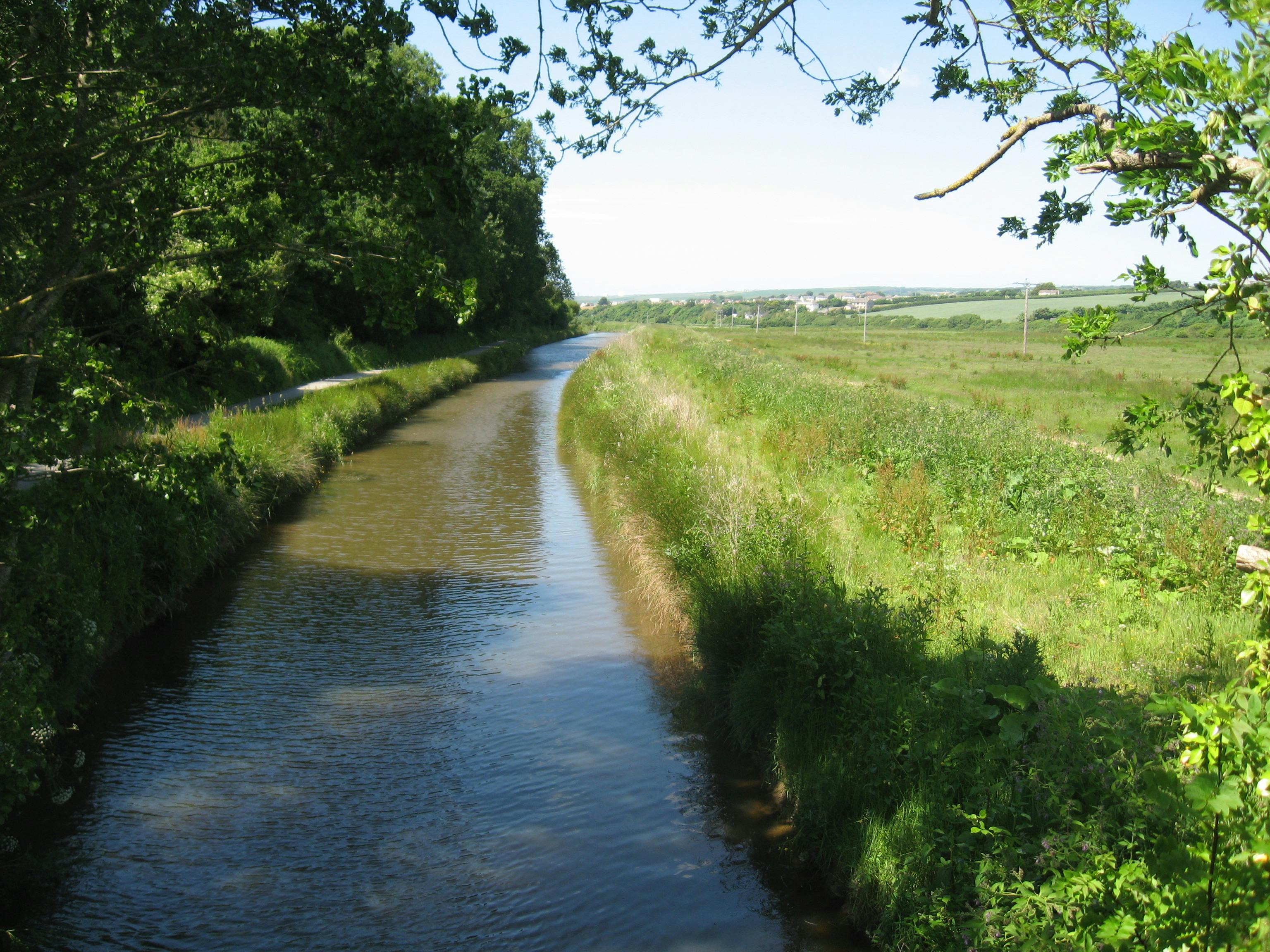
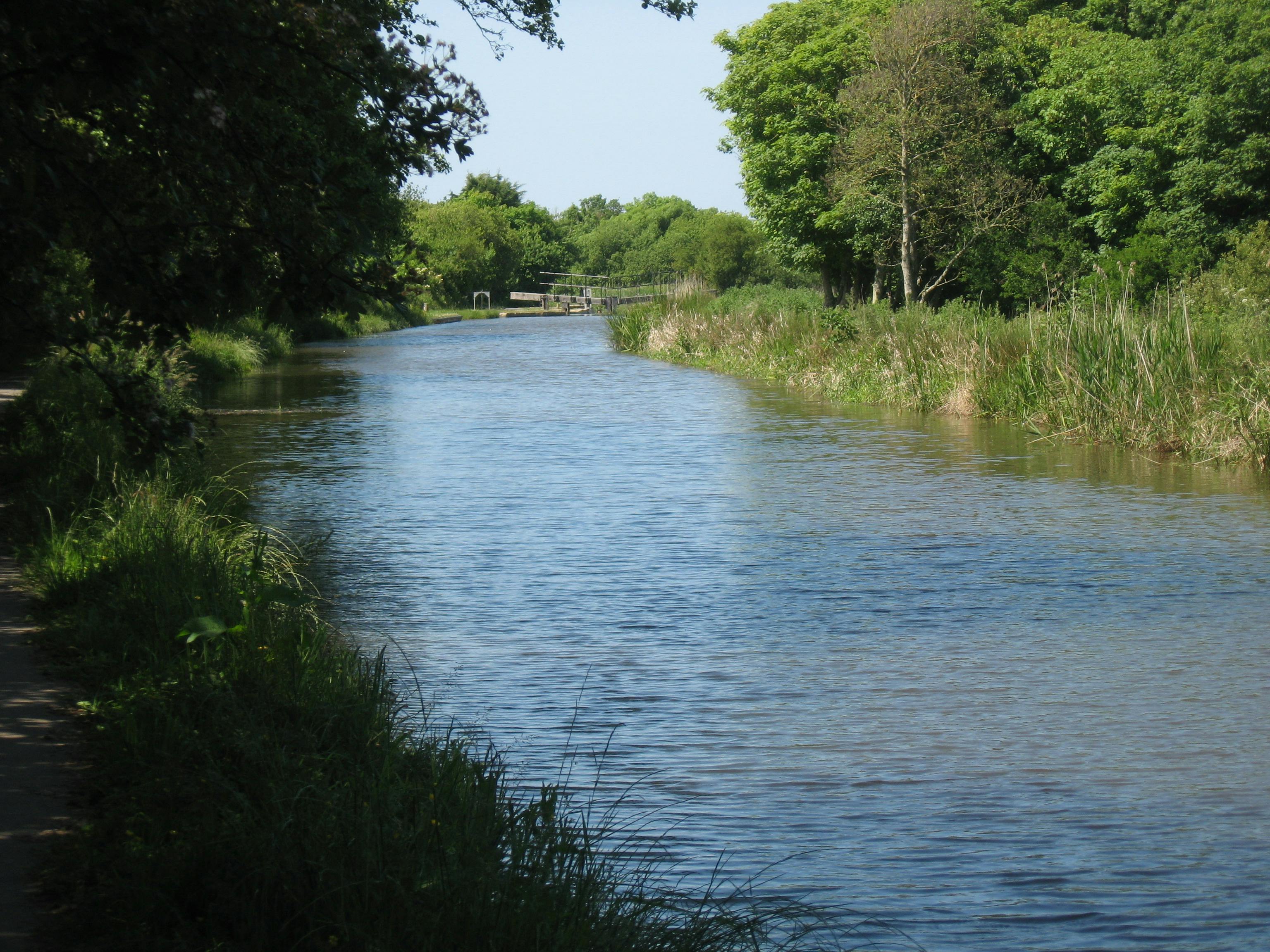
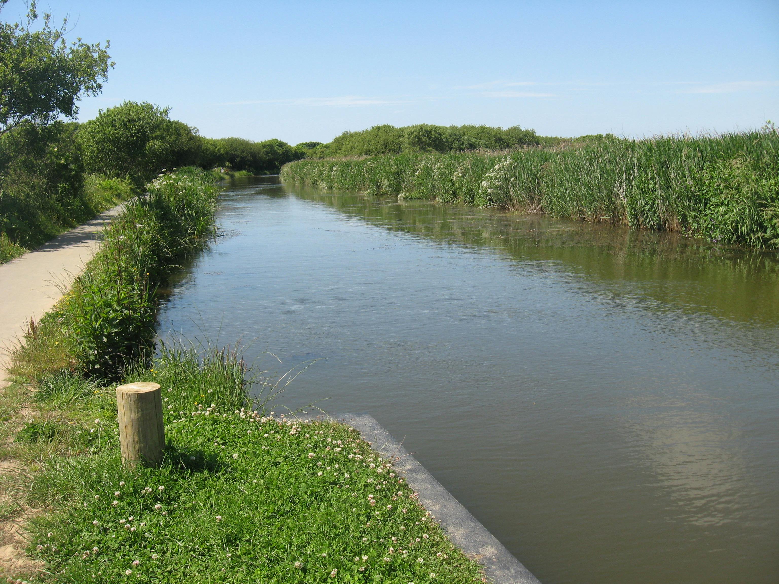
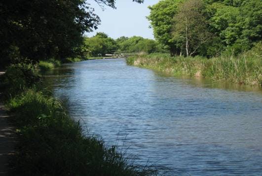
Today only a short section of c. 1.8 miles from the harbour to Whalesbrough remains watered. With the upper canal reaches mostly dry, it no longer receives water from Lower Tamar Lakes, but instead relies on the rivers Strat and Neet, which flow through catchments dominated by improved grassland and arable cropping.
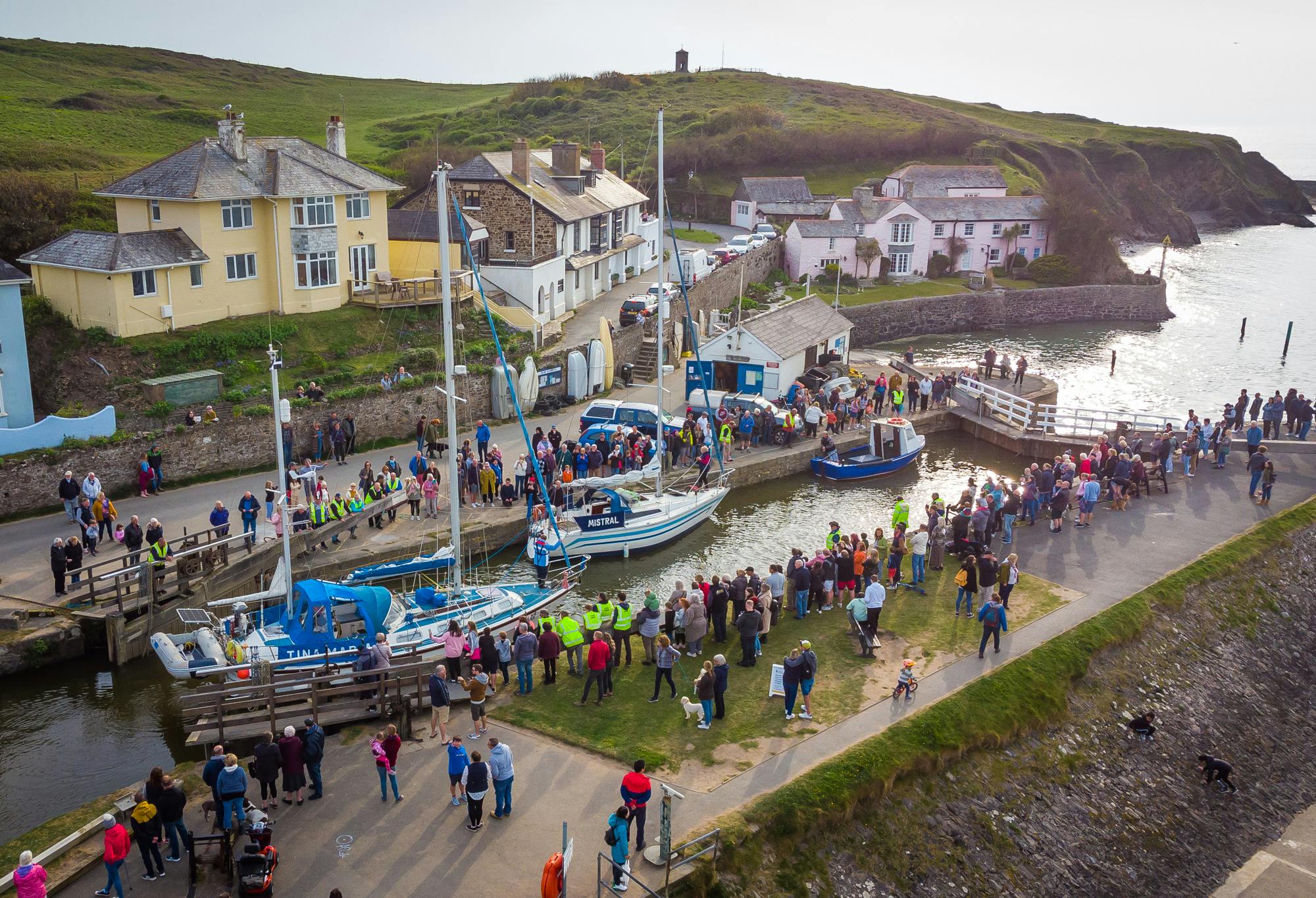
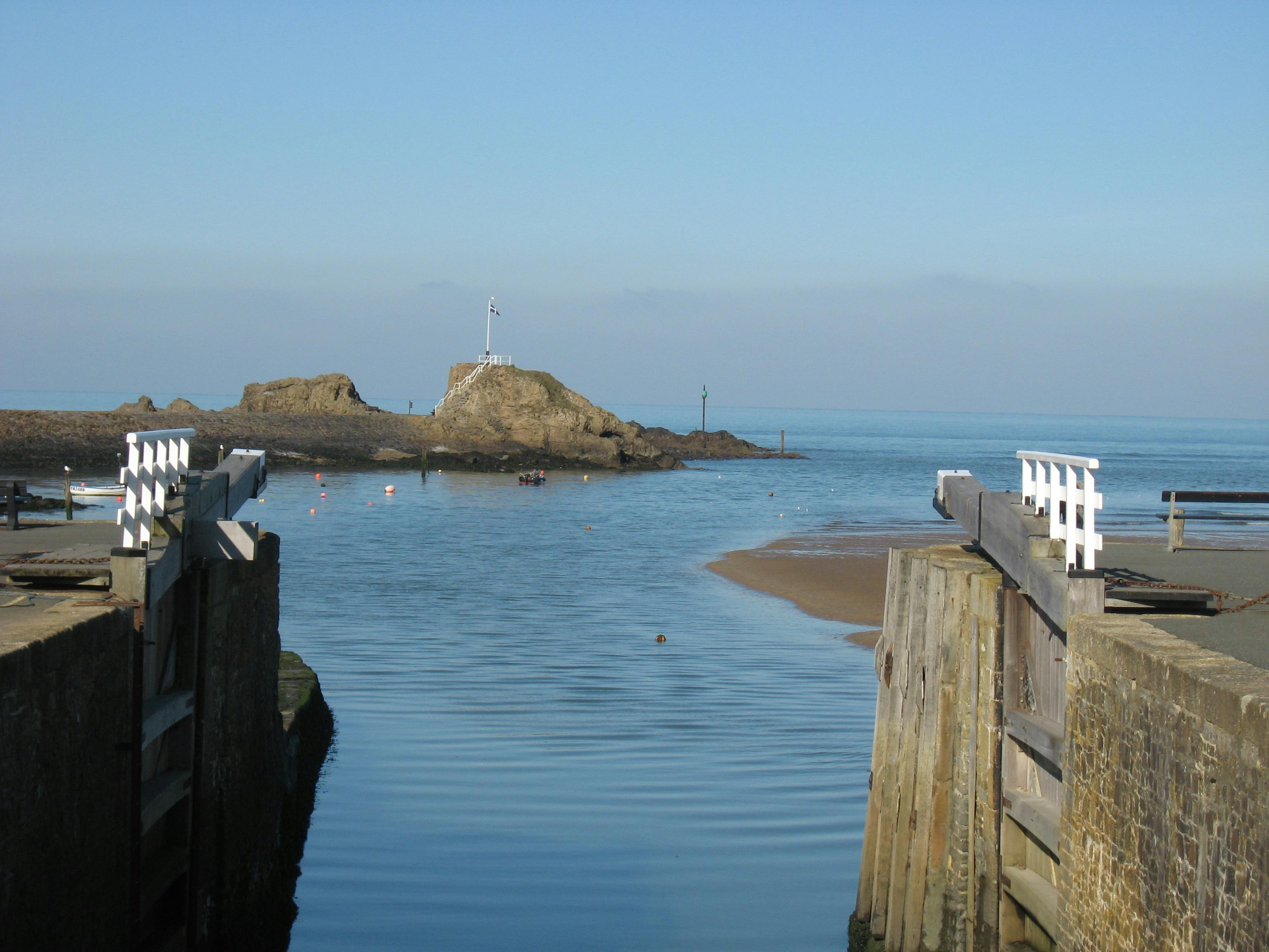
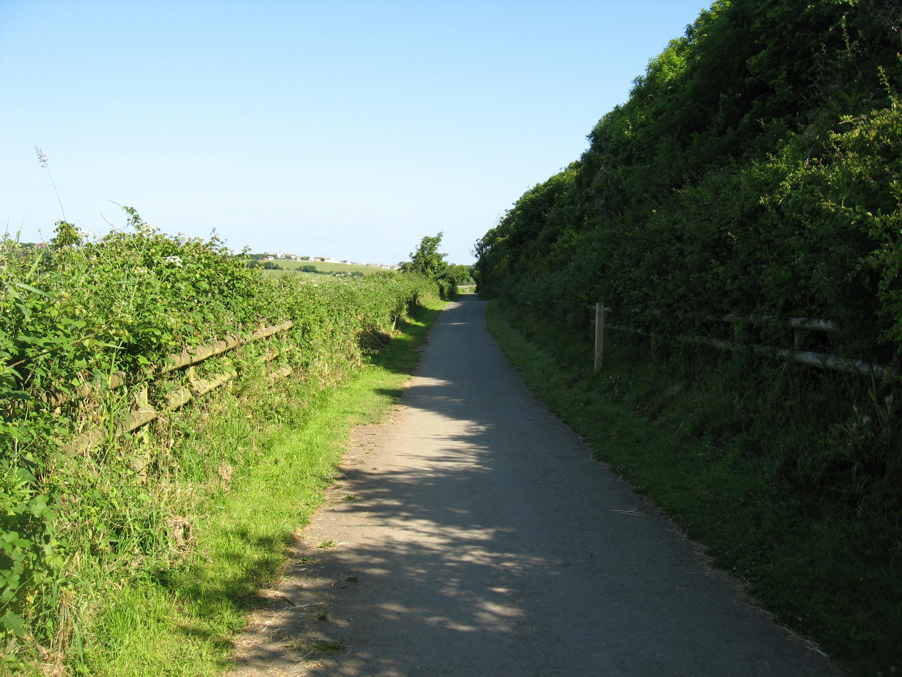
The canal and harbour are one Bude's foremost amenity spaces. A level tow-path provides an accessible route from the town to the surrounding countryside. The harbour and canal support small-scale commercial fishing, a coarse fishery, water-based activities and provide an attractive setting for canal-side food and retail outlets and accommodation.
This page is intended to help keep the community informed about the canal, providing updates and a place to ask questions. It has been developed in partnership between Cornwall Council Countryside and Maritime Teams, and we are pleased to work with a wide range of stakeholders involved in the canal and harbour through the Bude Valley Management Advisory Group:

Please note that the principle source of information for Bude Harbour is found at the following links:
- Bude Harbour News (select Bude filter) – News - Cornwall Harbours
- General information - Bude - Cornwall Harbours
The Bude Canal Dredging Programme referenced on this platform is part-funded] by the UK Government through the UK Shared Prosperity Fund. Cornwall Council has been chosen by Government as a Lead Authority for the fund and is responsible for monitoring the progress of projects funded through the UK Shared Prosperity Fund in Cornwall and the Isles of Scilly.

-
Canal Dredging Update - County Road Bridge
Share Canal Dredging Update - County Road Bridge on Facebook Share Canal Dredging Update - County Road Bridge on Twitter Share Canal Dredging Update - County Road Bridge on Linkedin Email Canal Dredging Update - County Road Bridge link
Progress towards the dredging programme continues and this month will see silt excavated in the section up-stream of County Road (Roads) Bridge.
Despite the challenges of the operation, dredging the canal is a priority to:
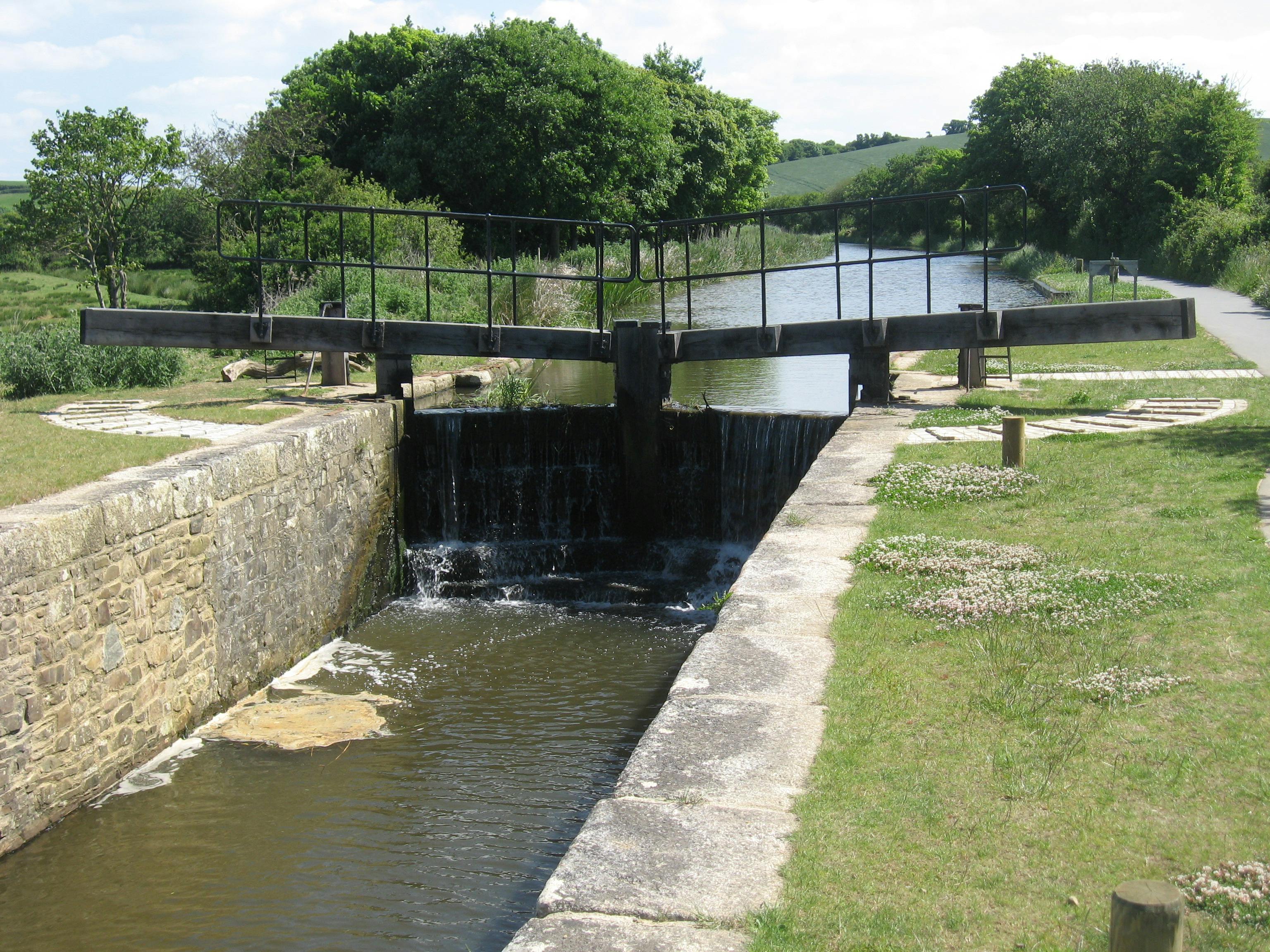
- Reinstate a safe navigable depth for watercraft
- Restore the role of the canal in carrying flood waters as part of the flood defence strategy for Bude
- To make the canal more resilient to the impacts of climate change, such as the low water levels experienced in the drought of 2022
The section above County Road Bridge will see a further circa 120 meter of canalContinue reading
-
Bude Canal Dredging Programme Update
Share Bude Canal Dredging Programme Update on Facebook Share Bude Canal Dredging Programme Update on Twitter Share Bude Canal Dredging Programme Update on Linkedin Email Bude Canal Dredging Programme Update link
Ahead of a public meeting scheduled for 12 January 2023, we’re updating stakeholders and the community about some changes to the timeline for dredging the Bude canal.
Dredging of one section of the Bude canal to the south of Truscott’s Bridge will begin as planned.
The start date for dredging the commercial lower zones of the canal has been rescheduled for later in the year to mitigate against any possibility of these major works affecting the town during the busy Easter holiday period.
Dredging the lower zones close to the town will have an inevitable impact and we are constantlyContinue reading
-
Bude Canal Dredging Programme – What you can expect
Share Bude Canal Dredging Programme – What you can expect on Facebook Share Bude Canal Dredging Programme – What you can expect on Twitter Share Bude Canal Dredging Programme – What you can expect on Linkedin Email Bude Canal Dredging Programme – What you can expect link
We are preparing to dredge the canal and want to let you know what will be happening and how it might affect you.
Why is the canal being dredged?
- Reinstate a safe navigable depth for watercraft
- Restore the role of the canal in carrying flood waters as part of the flood defence strategy for Bude
- To make the canal more resilient to the impacts of climate change, such as the low water levels experienced in the drought of 2022
When will the programme take place?
Exact dates will depend on a number of factors such as weather conditions, however weContinue reading
-
Water-based Activity Providers - Point of Contact
Share Water-based Activity Providers - Point of Contact on Facebook Share Water-based Activity Providers - Point of Contact on Twitter Share Water-based Activity Providers - Point of Contact on Linkedin Email Water-based Activity Providers - Point of Contact link
The Bude Canal offers a great range of the water-based activities, which are made possible through Cornwall Council's licence agreements for activity providers.
The Council is delighted to be working with seven providers on the canal in the current period, offering everything from canoe and stand-up paddleboard training to family pedalos for fun on the water whatever your ability.
We are hopeful that temporary measures put in place to keep the canal useable whilst repairs to the embankment are designed and approved will mean that everyone who wants to can still enjoy getting onto the water. Whilst the canal embankmentContinue reading
-
Dredging Update - poised to start at Whalesborough
Share Dredging Update - poised to start at Whalesborough on Facebook Share Dredging Update - poised to start at Whalesborough on Twitter Share Dredging Update - poised to start at Whalesborough on Linkedin Email Dredging Update - poised to start at Whalesborough link
As mentioned in earlier articles on this platform, dredging the Bude canal is not a straightforward operation. To cope with some of the complexities of the site we have divided up the dredging into zones where different methods can be applied. One of the simplest sections to dredge is near the start of the canal at Whalesborough and we are really pleased that we are now in a position to go ahead with silt removal in the section of the canal adjacent to the field known a Whalesborogh Ham. Here an excavator can access the embankment beside the canal, andContinue reading
-
Bude Valley Volunteers
Share Bude Valley Volunteers on Facebook Share Bude Valley Volunteers on Twitter Share Bude Valley Volunteers on Linkedin Email Bude Valley Volunteers link
The Bude Valley Volunteers help to manage many of the important green and blue spaces around Bude. They get involved with a wide range of tasks from coppicing willow and pulling invasive Himalayan Balsam to digging-in old Christmas trees and planting marram grass to restore the sand dunes at Widemouth Bay. They also undertake nature-walks and contribute recordings to the Cornwall Wildlife Trusts species data records.
If you would be interested in joining some of the working parties or nature-recording walks, please, please visit: bude valley volunteers (bude-area.co.uk) and complete an application form.
-
Critical Days Ahead for Plans to Dredge the Bude Canal
Share Critical Days Ahead for Plans to Dredge the Bude Canal on Facebook Share Critical Days Ahead for Plans to Dredge the Bude Canal on Twitter Share Critical Days Ahead for Plans to Dredge the Bude Canal on Linkedin Email Critical Days Ahead for Plans to Dredge the Bude Canal link
Cornwall Council has been developing a dredging programme for the canal in response to community and stakeholder demand for some time, and coming days will see a turning point for the proposals if the scheme is successful in its funding bid to the South West Regional Flood and Coastal Committee: South West Regional Flood and Coastal Committee (RFCC) - GOV.UK (www.gov.uk)
The canal receives high levels of silt input, particularly during times of flood, when the canal is opened to act a pressure value reliving the Lower Neet of flood waters. The catchments of the Start and Neet, which terminateContinue reading
-
Hilary's Story - Biodiversity and Ecosystems
Share Hilary's Story - Biodiversity and Ecosystems on Facebook Share Hilary's Story - Biodiversity and Ecosystems on Twitter Share Hilary's Story - Biodiversity and Ecosystems on Linkedin Email Hilary's Story - Biodiversity and Ecosystems link
We are delighted to share Hilary's Story; a contribution to Bude Climate Partnership's Our Bude, Our Stories initiative from Hilary Philip's, a keen member of the Bude Valley Management Advisory Group, that helps inform and guide management of the canal harbour and Local Nature Reserve.
In a short film, Hilary talks about the need to strike a fine balance between the use of the environment by people and the needs of nature for space, highlighting that climate change presents a particular problem that has brought this sometime troublesome interrelationship into sharp focus - just like the lens on her cameraContinue reading
-
Activities Resume on the Bude Canal
Share Activities Resume on the Bude Canal on Facebook Share Activities Resume on the Bude Canal on Twitter Share Activities Resume on the Bude Canal on Linkedin Email Activities Resume on the Bude Canal link
Many of you will be aware that all water-based activities on the canal were temporarily suspended on 19th August due to low water levels.
We are pleased that we have now been able to prepare an area for safe launching.
The area is located in the upper recreational zone and is clearly signed on site.
It is important that launching on the east bank only takes place from the designated area. Barriers remain in place cordoning off areas where access over the banks remains prohibited.
For further details about the types of activities available please visit: Visit Bude Canal |Continue reading
Documents and BVMG Updates
-
 BVMAG Update Summer 2020.pdf (648 KB) (pdf)
-
BVMAG update Winter 2020 -21 Public.pdf (6.1 MB) (pdf)
-
BVMAG update Summer 2021.pdf (4.49 MB) (pdf)
-
BVMAG update Winter 2021-22 (002).pdf (4.77 MB) (pdf)
-
Bude Canal Presentation_ SWRFCC 02082022Reduced.pdf (3.71 MB) (pdf)
-
Capital Projects Update_Bude Manaegment Advisory Group - 22082022.pdf (2.67 MB) (pdf)
-
Presentation - Public Meeting 12th Jan 2023 (2.66 MB) (pdf)
-
Record of Public Meeting 12th Jan 23.pdf (243 KB) (pdf)
-
Bude Canal Embankment Visualisation.pdf (8.9 MB) (pdf)