Looe Valley Trails
This page is no longer updated.
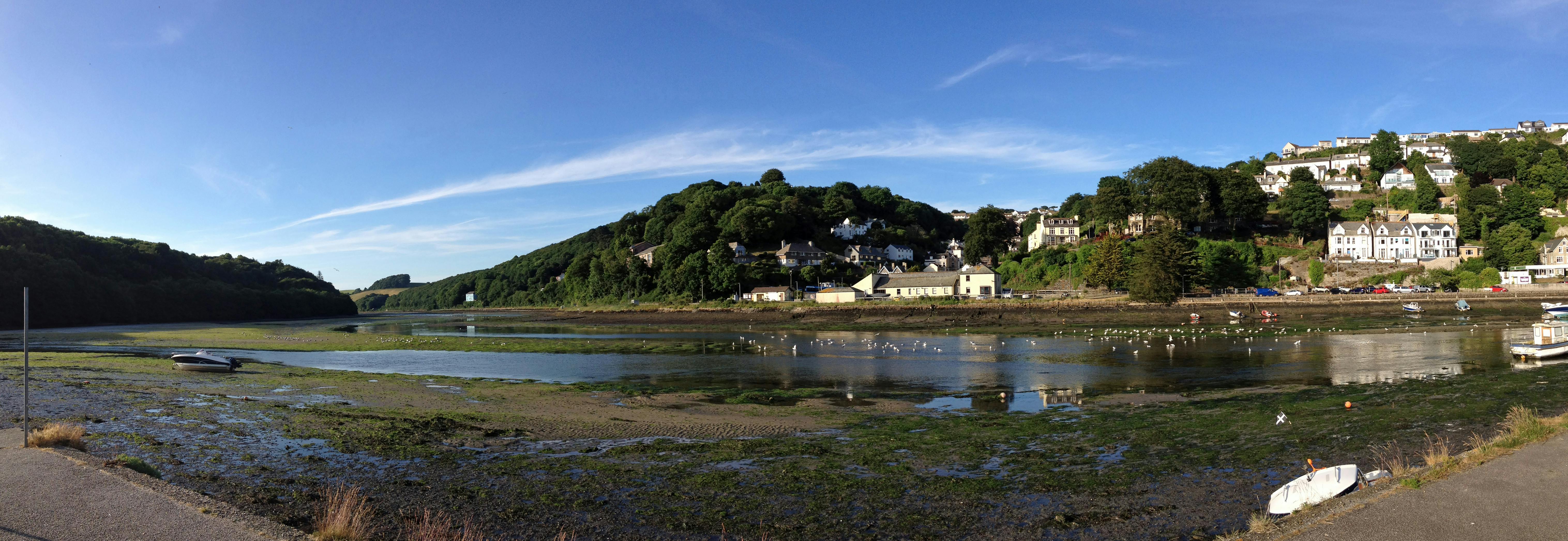
Looe Valley Trails: creating a network of multi-use trails linking Liskeard, Looe, Bodmin and the Rame Peninsula
Latest News
The first stage of the Looe Valley Trails project – to develop concept designs for all three routes and produce a strong business case to support bids for the funding needed to deliver the final scheme – has been successfully completed.
We would like to thank everyone who has been involved with the project for their contribution to our work and studies.
Whilst completion of this first phase marks a significant milestone for the project, work on the next stage – engaging with landowners, resolving any outstanding alignment issues and consulting with the local community – and then subsequently delivering the final scheme is dependent on securing further funding from central Government.
Key to that delivery will be the continued support of the local community and stakeholders.
About the project
Looe Valley Trails is one of a number of schemes being developed by Cornwall Council in partnership with other stakeholders to support the economic regeneration of South East Cornwall.
The project will provide a network of tracks connecting Looe, Liskeard, Bodmin and Cremyll, creating over 80 kms of multi-use trails for residents and visitors to walk, bicycle and ride and opening up access to some of the most beautiful and distinctive landscape in Cornwall.
The original brief from Cornwall Council was to develop the initial designs for the routes and to produce an outline business case for the project. Both these tasks have now been completed.
The project team have worked hard to find the right balance between protecting the environment and encouraging people to get into their local, natural environments and improve their health and wellbeing, and supporting economic regeneration.
This has involved liaising with town and parish councils, community groups and stakeholders to design routes to minimise, wherever possible, any negative effect on residents and the environment.
Aims of the project
The specific aims of the project include:
- Providing inclusive and high-quality multi-use routes which support active travel and improve the health and wellbeing of the local community
- Supporting new business opportunities, such as cycle hire operators and cafes, to boost the local economy, secure existing jobs and encourage job creation
- Encouraging increased tourism and visitors to the area and maximising spend in the local economy by trail users
- Improving the safety and journey ambience of active travel trips in the area
- Improving active travel connectivity between the four major settlements (Looe, Liskeard, Bodmin and Cremyll), and increasing access to local facilities and services
- Improving resilience and reducing congestion on the road network in Looe, and addressing overcrowding of the train service on the branch line
- Improving the area’s resilience to climate change.
- Increasing the number of visitors during the low season
- Ensuring the scheme safeguards and enhances the natural and historic environment, achieving a net gain in biodiversity and canopy cover and reduced carbon emissions, and connecting residents and visitors with the heritage and nature of the area, supporting the Forest for Cornwall and Local Nature Recovery Network programmes.
Current position
During the past 18 months the project team have worked with partners, stakeholders and the wider public to develop concept designs for all three routes. These develop route designs from a ‘line on a plan’ into more tangible schemes. As well as identifying recommended routes for the trails, including on and off-road sections, the designs include suggestions for stopping places, pedestrian and cycle crossings, signage and areas for bike parking.
A Design Panel comprising representatives of partners and the local community, was created last year to help shape the designs. This led to positive changes to some of the original proposals which have been included in the current designs.
These include moving a section of the proposed Liskeard to Looe route from the East Looe river valley to the West Looe river valley, reducing the potential impact on the environment, and providing an off-road section in the Tregantle Fort area on the Looe to Cremyll route following concerns over high traffic volumes and speeds from motorised users.
Some preliminary work has also been carried out on the potential to create a link with Lostwithiel. Initial findings show that, as the majority of this section could be provided on existing roads and public rights of way which are already paved, it would only require a very short section of new path to be constructed to create the link.
At the same time work has been taking place to develop the business case to support bids for external funding to deliver the scheme.
The completion of the concept designs and the business case means that the schemes are in a strong position to be progressed if further funding can be secured.
Concept designs
The designs for all three routes contain a mix of on and off-road sections. Where possible the on-road sections are on quiet roads and country lanes.
While the project has been developed as a single scheme, the designs allow for the routes to be delivered in phases if required. These could enable individual sections, such as the Looe to Cremyll route and the Liskeard to Looe Loops, to be delivered ahead of more complex and potentially more costly sections if individual pots of funding became available.

Looe to Bodmin route

While the majority of this 17.1km route is on-road, these sections are mainly located on quiet roads, country lanes and existing Forestry Commission tracks, with an off-road section linking to Bodmin Parkway.
The section at the east of the route also co-incides with the Looe to Liskeard route.
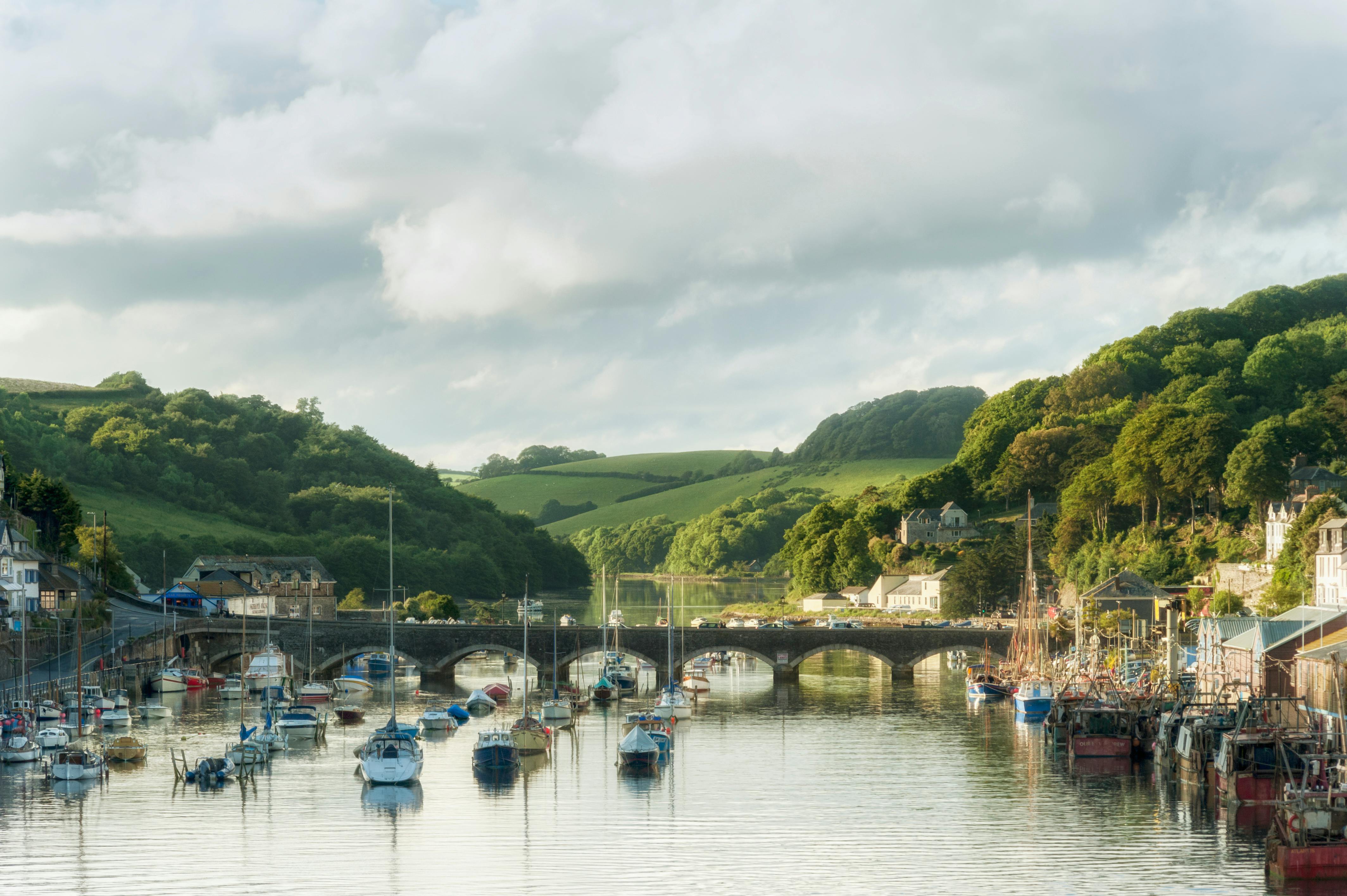
Looe to Liskeard route

This 31km route is a combination of largely traffic free sections, with a linking section on quiet country lanes. It has been designed to fit alongside the new cycling hubs and other sustainable transport links which are being developed by others in Looe and Liskeard.
The route includes two high quality loops which provide a circular route. Discussions with landowners and the local community have led to some changes in the alignment around the Liskeard loop to prevent users having to access a busy road and also to address environmental concerns. As a result the route now goes through the West Looe river valley rather than the original proposal which to go through the East Looe river valley.
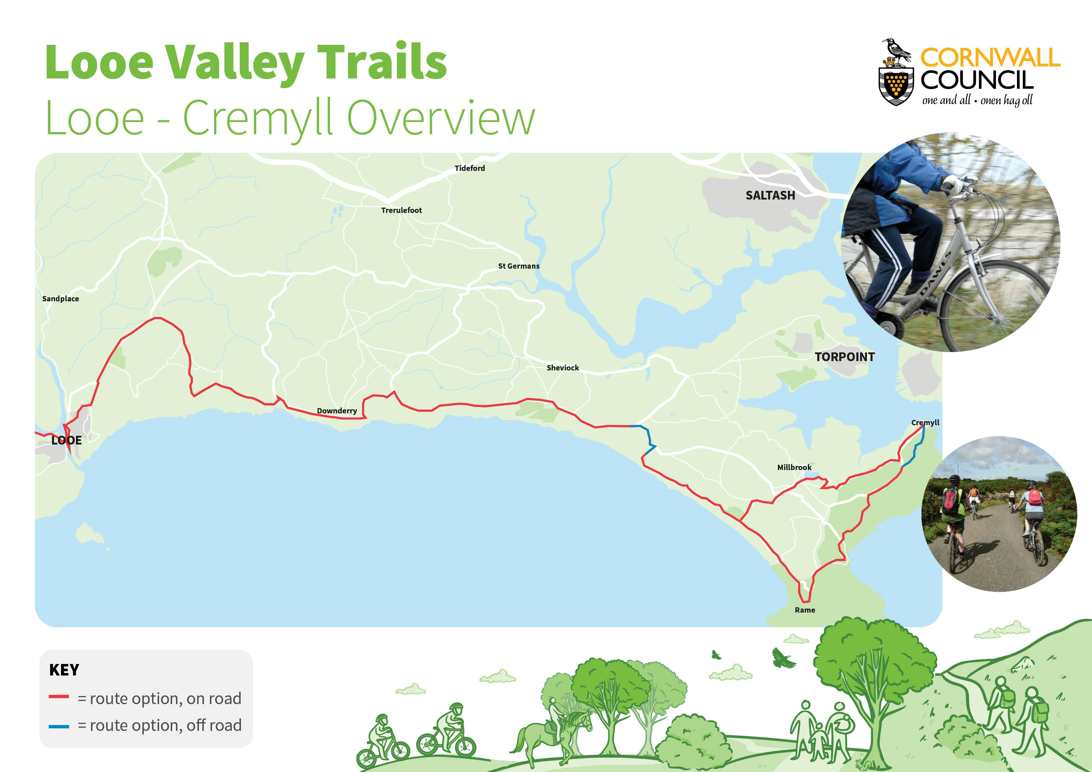
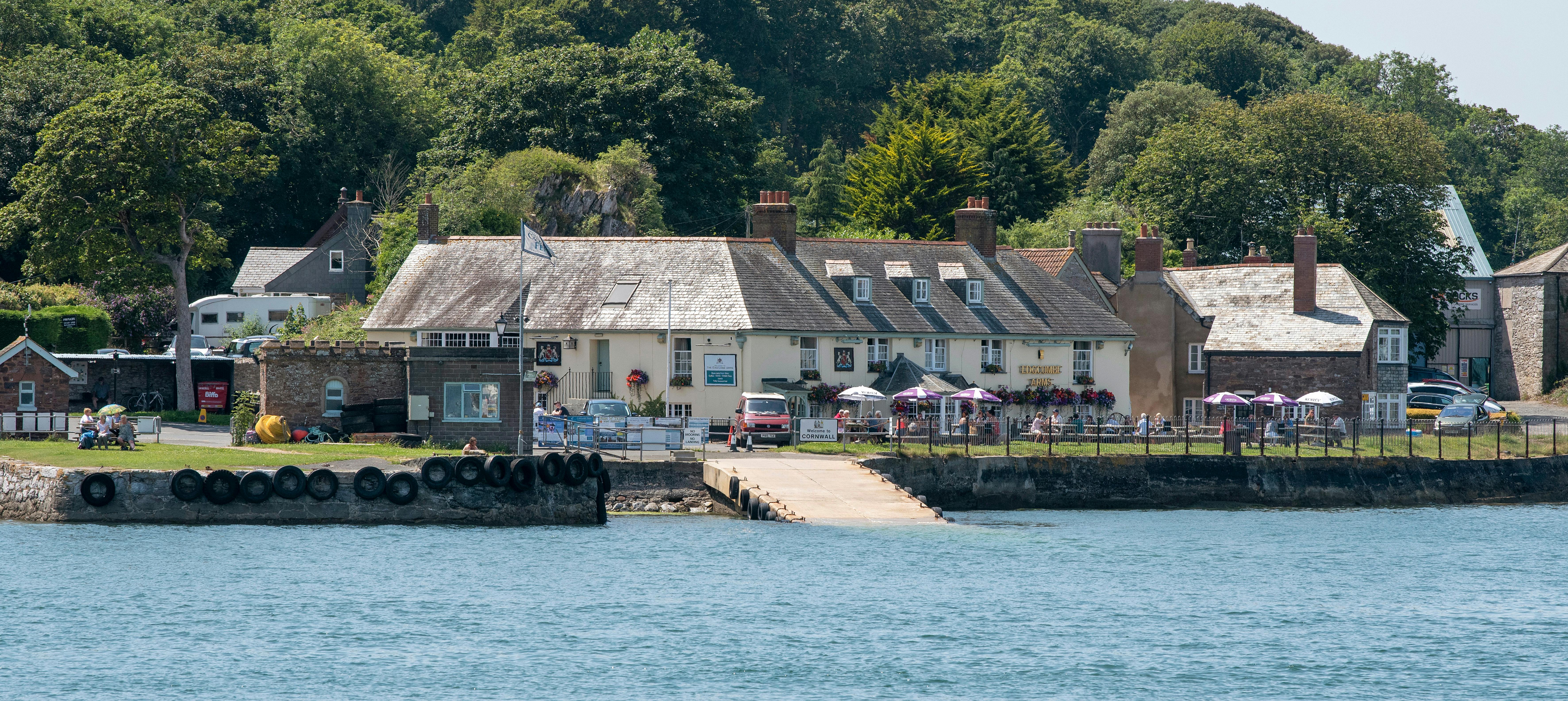
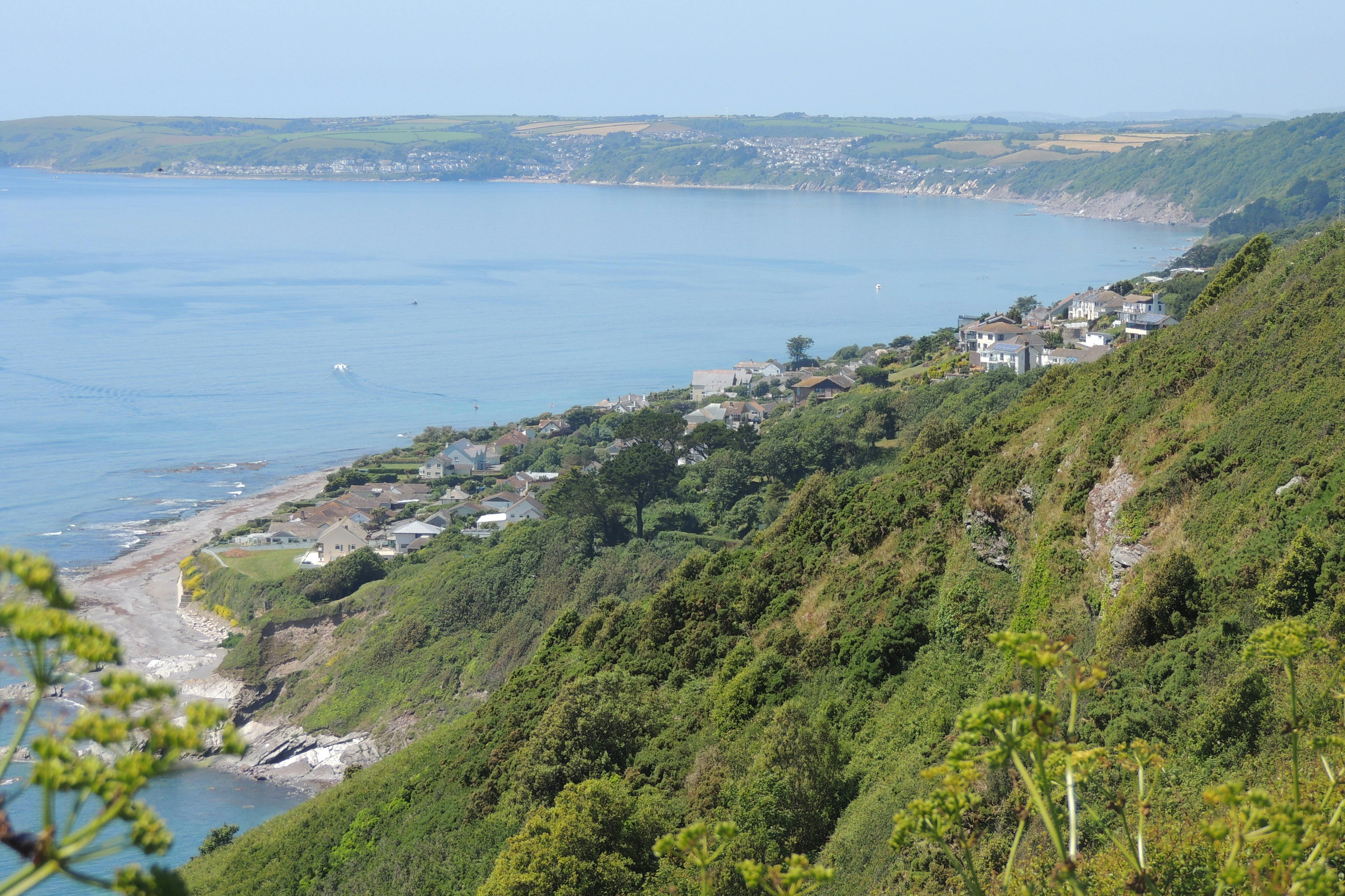
Looe to Cremyll route

This route covers a distance of around 32km between Looe and Cremyll, covering the main population centres of Downderry, Seaton, Portwrinkle, Crafthole and Freathy along the way.
Linked to the promoted National Cycle Network from Plymouth, this section, which begins at the Millpool car park in Looe, is mainly on road, with an 8km on-road loop at the Cremyll end of the route which provides a waymarked route connecting the settlements in the Rame area and completes a gap in the existing promoted cycle network.
Following concerns from the local community over high traffic volumes and speeds from motorised users, there is now an off-road section in the Tregantle Fort area which provides a new path adjacent to the B3247 from the junction from Anthony Hill all the way round to Military Road. This also provides a safe pedestrian route at all times, closing the gap in the coast path at times when the MoD need to close the route that crosses their land.
Next steps
Work on developing and delivering the next stage of the project is dependent on securing further funding. Discussions will be held with key partners to identify future funding opportunities.
Further updates will be provided as required.
Documents
-
 LVT Design Panel
-
Newsletters
-
 Looe Valley Trails Newsletter issue 2.pdf (1.02 MB) (pdf)
-
new chair and vice chair of Looe Valley Trails design panel.pdf (123 KB) (pdf)
-
Looe Valley Trails Newsletter_Issue 3_.pdf (2.26 MB) (pdf)
-
Public invited to have their say on proposed Looe to Cremyll trail .pdf (380 KB) (pdf)
-
Looe Valley Trails Leaflet_web.pdf (1.29 MB) (pdf)


Frequently Asked Questions
-
Project Development
- What progress has been made so far?
- When will more information be available about the project? How can I see it?
- Why has the proposed route changed from the work that was completed by the Looe Development Trust?
- What is the Looe Valley Trails project?
- What is a multi use trail ?
- Where did the idea for a network of multi use trails originate ?
- Are the routes already decided?
- What are the aims of the project?
- Who is involved in the project?
- Are the trails part of a package of complementary projects?
- What does the project include?
-
Environment
- Many of the areas that the trails pass through have rarely seen humans, how can you safeguard the environment when you are putting humans into these places?
- Why can’t you just close the Looe to Liskeard branch line and use this as a cycle trail?
- The EIA screening opinion says that a full EIA is not required, how are you going to protect the environment?
-
Communities and Participation
-
General Queries
- Will I be compensated for use of my land or disruption to my business etc?
- What commitment towards the trails development has the Council offered?
- Why has it taken so long to get information about the trails communicated
- Can I ride my horse on the trails when created?
- Why has a planning application been submitted prior to engaging with the communities?
- How will the trails be maintained once they are in place ?
- Why is it taking so long to develop the project?
- I am concerned that motorbikes will use the trails and create an unsafe environment, what are you doing to prevent this from happening?
- Will there be a bridge across the West Looe River to Trenant Point?
- Why can’t cyclists just use the roads and not spend the money on them?
- Will you be providing Motorhome/Campervan parking as part of this project? And will it be overnight parking provision?
Videos
-
 Interviews with Chair and Vice Chair of Looe Valley Trails Design Panel
-