We use cookies to ensure our site functions properly and to store limited information about your usage. You may give or withdraw consent at any time. To find out more, read our privacy policy and cookie policy.
Manage Cookies
A cookie is information stored on your computer by a website you visit. Cookies often store your settings for a website, such as your preferred language or location. This allows the site to present you with information customized to fit your needs. As per the GDPR law, companies need to get your explicit approval to collect your data. Some of these cookies are ‘strictly necessary’ to provide the basic functions of the website and can not be turned off, while others if present, have the option of being turned off. Learn more about our Privacy and Cookie policies. These can be managed also from our cookie policy page.
Strictly necessary cookies(always on):
Necessary for enabling core functionality. The website cannot function properly without these cookies. This cannot be turned off. e.g. Sign in, Language
Analytics cookies:
Analytical cookies help us to analyse user behaviour, mainly to see if the users are able to find and act on things that they are looking for. They allow us to recognise and count the number of visitors and to see how visitors move around our website when they are using it. Tools used: Google Analytics
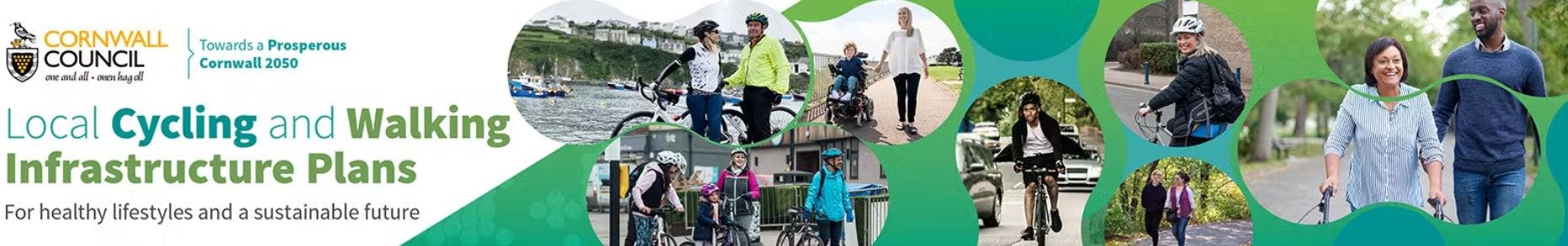
St Ives and Hayle Cycling and Walking Infrastructure Plan
Share St Ives and Hayle Cycling and Walking Infrastructure Plan on FacebookShare St Ives and Hayle Cycling and Walking Infrastructure Plan on TwitterShare St Ives and Hayle Cycling and Walking Infrastructure Plan on LinkedinEmail St Ives and Hayle Cycling and Walking Infrastructure Plan link
Walking and cycling are two of the most promising activities for addressing the current environmental challenges, promoting healthy lifestyles and ensuring a sustainable future for the generations to come. The Government’s ambition is to make walking and cycling the natural choices, not only for shorter journeys, but also for longer journeys with the combination of other modes of transportation. Furthermore, transforming local areas in ways that support active travel will reduce congestion, improve physical and mental health and support local economies, aligning with the Government’s sustainable vision.
Local Cycling and Walking Infrastructure Plans (LCWIP) have been developed by the Department for Transport (DfT) for local and regional authorities to take a strategic approach in improving walking and cycling infrastructure and encourage a shift away from motorised vehicles.
The three key outputs of an LCWIP are:
a network plan for walking and cycling, which identifies preferred routes and core zones
a prioritised programme of infrastructure improvements for future investment, and
a report which sets out the underlying analysis carried out and provides a narrative which supports the identified improvements and network.
The project scope includes;
St. Ives
Carbis Bay
Lelant
Hayle
St. Erth
Angarrack
Is there an opportunity for improving cycling and walking in the study area you would like to share?
Is there a barrier to cycling and walking in the study area you would like to share?
Please use the map below.
Suggestions can be added until Monday 9th December 17.00hrs
Thank you
Walking and cycling are two of the most promising activities for addressing the current environmental challenges, promoting healthy lifestyles and ensuring a sustainable future for the generations to come. The Government’s ambition is to make walking and cycling the natural choices, not only for shorter journeys, but also for longer journeys with the combination of other modes of transportation. Furthermore, transforming local areas in ways that support active travel will reduce congestion, improve physical and mental health and support local economies, aligning with the Government’s sustainable vision.
Local Cycling and Walking Infrastructure Plans (LCWIP) have been developed by the Department for Transport (DfT) for local and regional authorities to take a strategic approach in improving walking and cycling infrastructure and encourage a shift away from motorised vehicles.
The three key outputs of an LCWIP are:
a network plan for walking and cycling, which identifies preferred routes and core zones
a prioritised programme of infrastructure improvements for future investment, and
a report which sets out the underlying analysis carried out and provides a narrative which supports the identified improvements and network.
The project scope includes;
St. Ives
Carbis Bay
Lelant
Hayle
St. Erth
Angarrack
Is there an opportunity for improving cycling and walking in the study area you would like to share?
Is there a barrier to cycling and walking in the study area you would like to share?
Please use the map below.
Suggestions can be added until Monday 9th December 17.00hrs
St Ives and Hayle Cycling and Walking Infrastructure Plan has finished this stage
This consultation is open for contributions.
Under Review
St Ives and Hayle Cycling and Walking Infrastructure Plan is currently at this stage
Contributions to this consultation are closed for evaluation and review. The project team will report back on key outcomes.
Final report
this is an upcoming stage for St Ives and Hayle Cycling and Walking Infrastructure Plan
The final outcomes of the consultation are documented here. This may include a summary of all contributions collected as well as recommendations for future action.