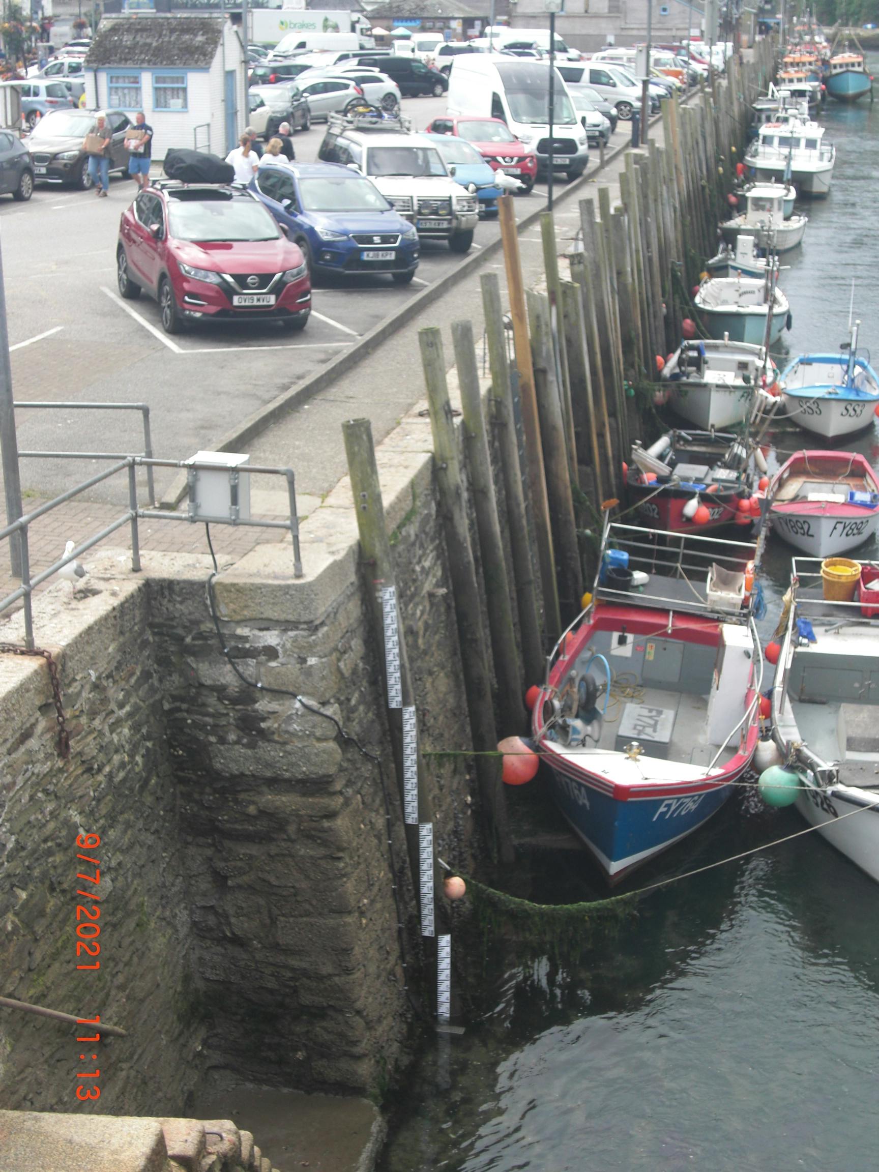
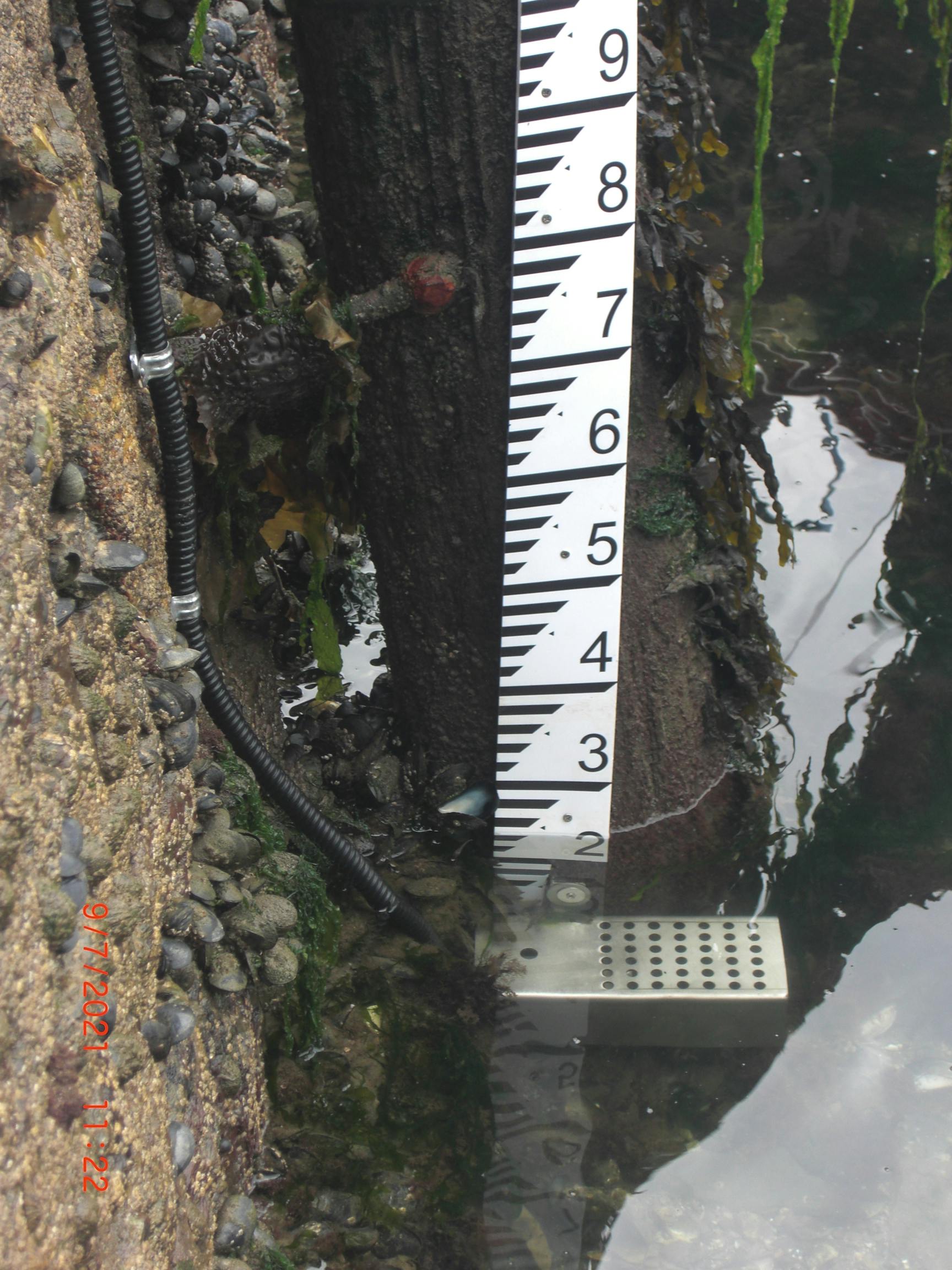
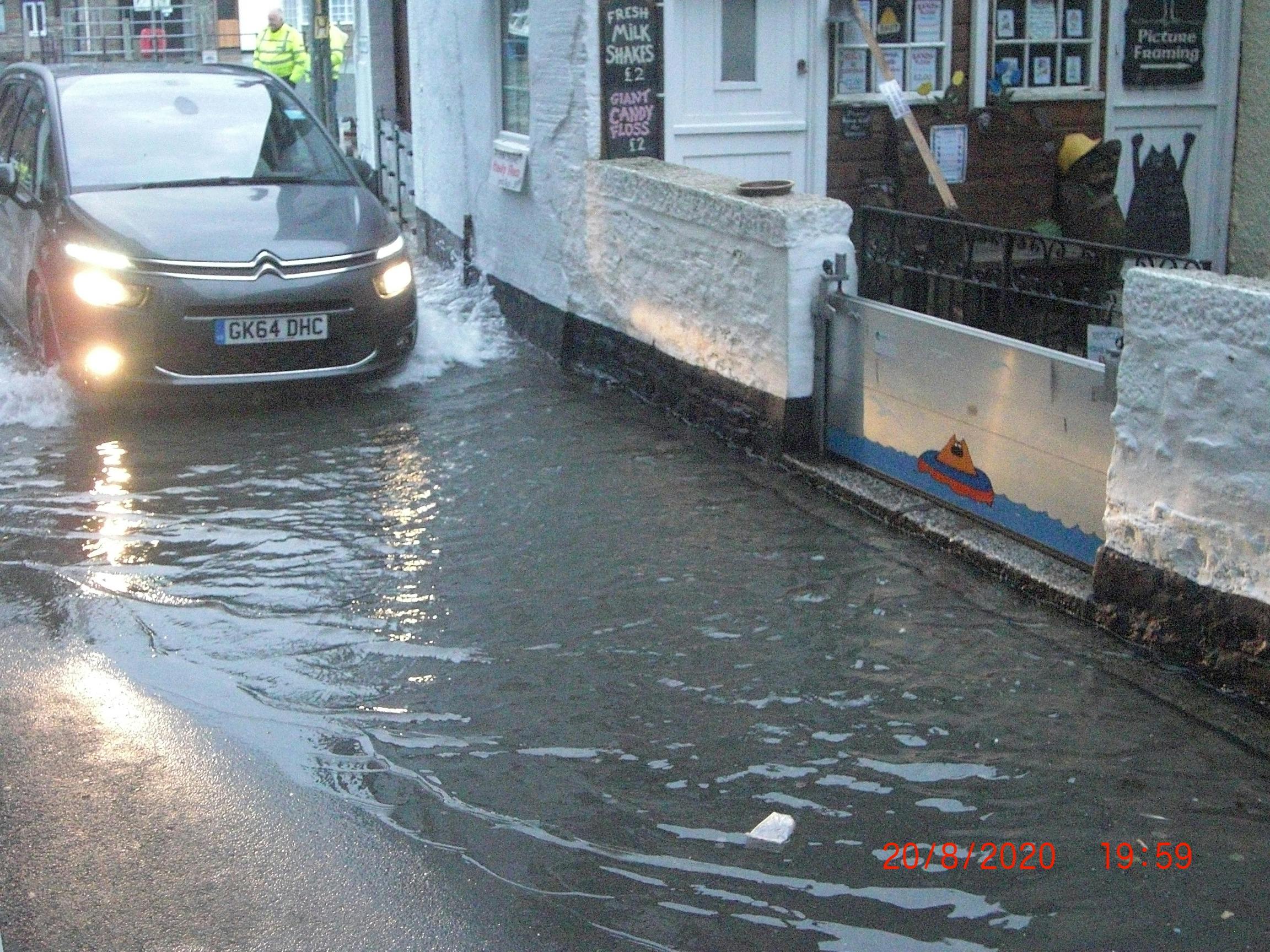
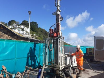
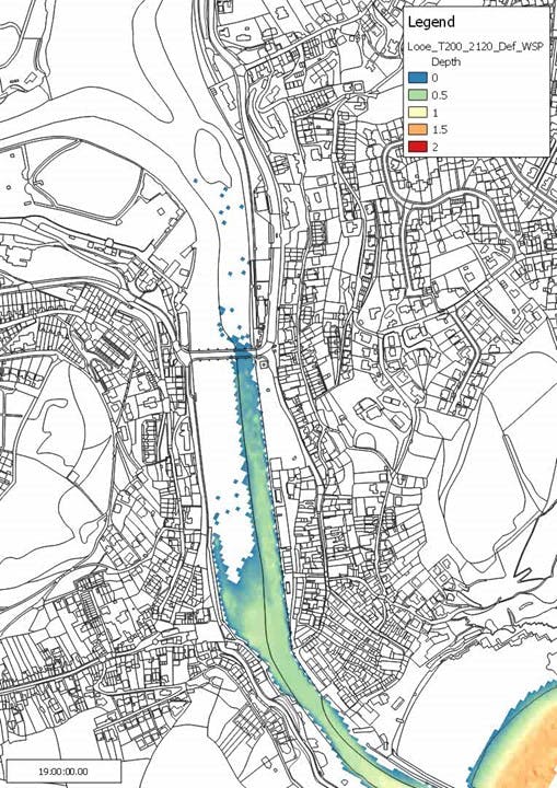
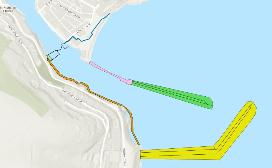
Our website uses cookies

We use cookies to ensure our site functions properly and to store limited information about your usage. You may give or withdraw consent at any time. To find out more, read our privacy policy and cookie policy.

Manage Cookies

A cookie is information stored on your computer by a website you visit. Cookies often store your settings for a website, such as your preferred language or location. This allows the site to present you with information customized to fit your needs. As per the GDPR law, companies need to get your explicit approval to collect your data. Some of these cookies are ‘strictly necessary’ to provide the basic functions of the website and can not be turned off, while others if present, have the option of being turned off. Learn more about our Privacy and Cookie policies. These can be managed also from our cookie policy page.

  1. Strictly necessary cookies(always on):
    Necessary for enabling core functionality. The website cannot function properly without these cookies. This cannot be turned off. e.g. Sign in, Language
  2. Analytics cookies:
    Analytical cookies help us to analyse user behaviour, mainly to see if the users are able to find and act on things that they are looking for. They allow us to recognise and count the number of visitors and to see how visitors move around our website when they are using it. Tools used: Google Analytics
  • Skip to main content
  • Jump to navigation
  • Search

IE10 and below are not supported.

Google Chrome Mozilla Firefox

Contact us for any help on browser support

Looe Flood Defence and Regeneration Scheme - project banner

You are here:

  • Home
  • Looe proposed flood defence and regeneration scheme

Photos

example of rising sector gate .jpg
previous next
looe artists impression .jpg
looe pics 2.jpg
looe pics 3.jpg
peak water pic.jpg
pic 2.jpg
looe tide guage 4.JPG
looe tide gauge 3.JPG
looe flooding .JPG
boreholes being drilled in Looe.jpg
1 in 200 yEARS IN 100 YEARS.jpg
DESIGN ELEMENTS .jpg
example of rising sector gate .jpg
example of similiar mitre gate.jpg
geophysical surveys of the sea bed.jpg
marine ecology surveys.jpg
reef cubes similar to those considered in Looe.jpg
scientific instruments used to measure current s.jpg
stalked jelly fish recorded during dive surveys.jpg
sea grass .jpg
waves.gif
current tidal bar location.png
current tidal barrier location.jpg
flooding pic.jpg
erosion pic.jpg
wave heights 1.jpg
wave heights 2.jpg
utilities pic.jpg