More flooding in Looe affects homes, businesses and transport links

This week has seen key parts of Looe affected by flooding – with roads, rail lines and car parks closed because they were under water, leaving local people unable to access their homes and businesses.
A combination of high spring tides and strong winds, coupled with problems caused by the depth of standing water led to significant flooding in the town on Wednesday and Thursday. Standing water was created by the sea overtopping the quays and sea water backing up through the drains.
On Wednesday parts of the Mill Pool car park were underwater, causing problems for motorists, as well as flooding affecting areas around the fish market.

On Thursday Cornwall Fire and Rescue Service was forced to close West Looe Quay Road for several hours as a result of the flooding, with East Looe Quay Road (from the main carpark down to Middleton’s Corner) also seeing a significant depth of water.

Both rail and bus services were also affected, with the Liskeard to Looe Line closed for several hours on Thursday morning, and a number of bus services cancelled. The line remained closed on Friday for track inspections to determine if it was safe to resume services.
“The worst of the flooding took place in the early hours on both days “said Tina Hicks, Chief Executive of Looe Harbour Commissioners. ”The water rising from the drains meant that we found ourselves wading though sewerage laced sea water recovering the contents of washed over bins, glass receptacles and general household waste in the dark whilst directing traffic from flooded parking areas and access roads. “


“As well as the problems with the rail line, and car parks, the flooding meant we also had no road access to the area around the fish market for several hours of the morning on both days, affecting everyone who lives and works in this part of the town. “

Looe is already frequently flooded, with the flood risk set to get worse as a result of rising sea levels and increasingly severe storms. According to Met Office predictions, in 20 years’ time the same flood event could be 170mm higher (UKCP18). Wave action played a significant part in the severe flooding experienced on St Valentine’s Day in 2014 which damaged Banjo Pier and parts of the quay walls throughout the town.
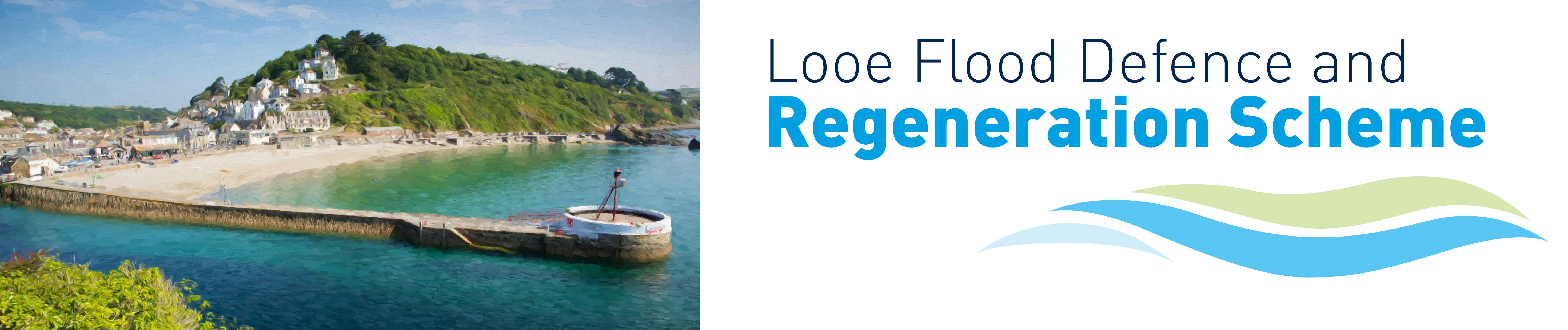
Cornwall Council is working with the Environment Agency and other key stakeholders in advancing plans to provide the town with a flood defence and regeneration scheme, but funding remains a problem.
During the fortnightly spring tides, the sea routinely comes close to the top of the quayside walls. When a storm occurs at the same time, the water comes over the walls and floods the surrounding streets which are lower lying.
“Luckily the strength of the wind had dropped on Thursday “ said Tina. “ If that had not happened the town would have been in serious trouble”.
Martyn Alvey, Cornwall Council’s Portfolio Holder for Environment and Climate Change said: “My heartfelt sympathies go out to those affected by this latest flooding incident. I also thank the fire and rescue service and the whole community who have pulled together to deal with the aftermath.
“ It is clear that Looe is increasingly vulnerable to flooding which threatens the town’s viability. The urgency of agreeing and funding a scheme to protect Looe from rising sea levels, devastating coastal erosion, and long-term economic decline is clear to see."
Ends
